Idabel night lights from space
Night Light of Idabel (Oklahoma) from space (United States) Src. Average luminocity for 10x10km area is 24.6311% and for 50x50km: 2.5926%.
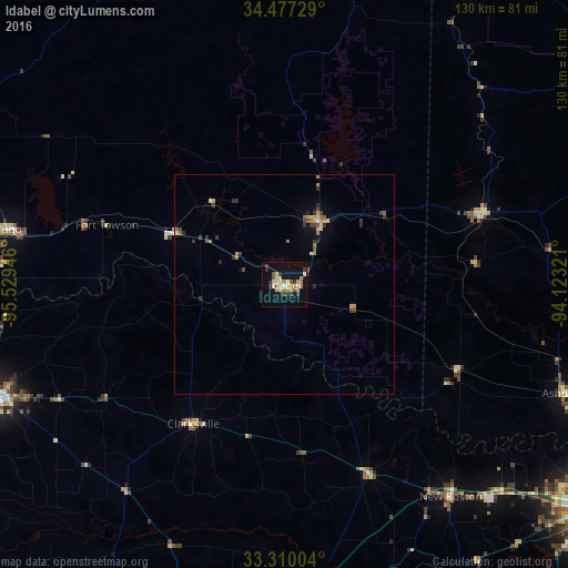
Analysis of Idabel night lights 2016
Square area 10x10 km:
 0.35%
0.35%90-99
2.8%80-89
7.17%70-79
3.5%60-69
5.07%50-59
2.62%40-49
0.7%30-39
4.9%20-29
1.75%10-19
21.5%0-9
49.65%Square area 50x50 km:
0.04%90-99
0.16%80-89
0.56%70-79
0.33%60-69
0.54%50-59
0.3%40-49
0.31%30-39
0.73%20-29
0.35%10-19
1.15%0-9
95.53%Clear (daylight) street map image can be seen on geolist.org.
Map coordinates:
34° 28' 38.2" North, 95° 31' 46.1" West
33° 53' 44.4" North, 94° 49' 34.8" West
33° 18' 36.1" North, 94° 7' 23.6" West
Some cities around Idabel sort by population:
• Texarkana
89 km =55.3 mi,  125°
125°
• Texarkana
88.7 km =55.1 mi,  124°
124°
• Paris
72.3 km =44.9 mi,  248°
248°
• Mount Pleasant
83.2 km =51.7 mi,  189°
189°
• De Queen
47.4 km =29.5 mi,  70°
70°
• Mena
93.8 km =58.3 mi,  35°
35°
• Wake Village
84.6 km =52.6 mi, 128°
• Hugo
64.3 km =40 mi,  281°
281°
4539224 (p: 7,007)
Sources (retrieved 2019-11-25):
» Earth at Night: Flat Maps 2012, 2016