Elk City night lights from space
Night Light of Elk City (Oklahoma) from space (United States) Src. Average luminocity for 10x10km area is 39.9853% and for 50x50km: 3.6619%.
Analysis of Elk City night lights 2016
Square area 10x10 km:
 3.66%
3.66%90-99
6.59%80-89
6.78%70-79
5.68%60-69
7.69%50-59
6.23%40-49
3.66%30-39
6.04%20-29
7.51%10-19
37.73%0-9
8.42%Square area 50x50 km:
0.21%90-99
0.3%80-89
0.79%70-79
0.43%60-69
0.62%50-59
0.57%40-49
0.4%30-39
0.75%20-29
0.6%10-19
2.59%0-9
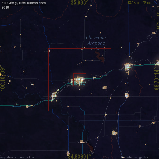
92.74%Clear (daylight) street map image can be seen on geolist.org.
Map coordinates:
35° 58' 58.8" North, 100° 6' 26.6" West
35° 24' 43.2" North, 99° 24' 15.3" West
34° 50' 12.9" North, 98° 42' 4.1" West
Some cities around Elk City sort by population:
• Lawton
128.5 km =79.8 mi,  134°
134°
• Altus
86.3 km =53.6 mi,  175°
175°
• El Reno
131.9 km =82 mi,  84°
84°
• Woodward
113.6 km =70.6 mi,  0°
0°
• Weatherford
64.4 km =40 mi, 78°
• Clinton
41.2 km =25.6 mi,  73°
73°
• Anadarko
111.9 km =69.5 mi,  109°
109°
• Childress
131.6 km =81.8 mi,  213°
213°
4535823 (p: 12,717)
Sources (retrieved 2019-11-25):
» Earth at Night: Flat Maps 2012, 2016