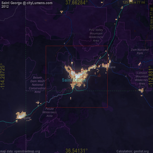
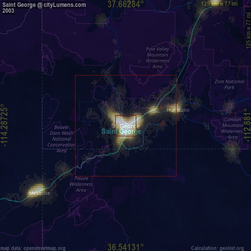
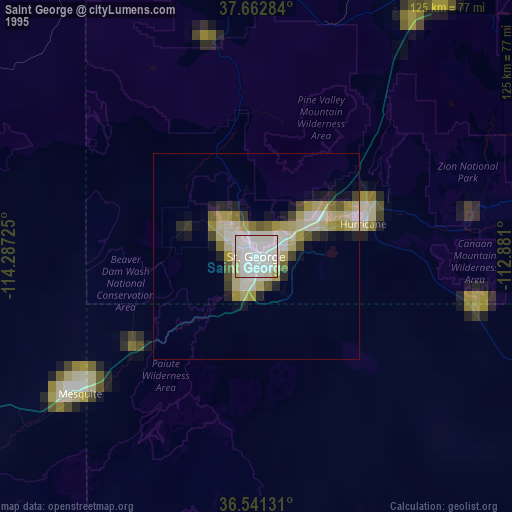
Saint George night lights from space
Night Light of Saint George (Utah) from space (United States) Src. Average luminocity for 10x10km area is 63.9609% and for 50x50km: 7.3489%.

Analysis of Saint George night lights 2016
Square area 10x10 km:
 12.24%
90-99
12.24%80-89
2.21%70-79
15.48%60-69
16.33%50-59
15.65%40-49
3.91%30-39
4.59%20-29
15.99%10-19
1.36%0-9
0%Square area 50x50 km:
0.52%90-99
0.59%80-89
0.23%70-79
1.64%60-69
2.17%50-59
1.94%40-49
0.86%30-39
0.8%20-29
1.8%10-19
4.84%0-9
84.6%Clear (daylight) street map image can be seen on geolist.org.
Map coordinates:
37° 39' 46.2" North, 114° 17' 14.1" West
37° 6' 14.9" North, 113° 35' 2.8" West
36° 32' 28.7" North, 112° 52' 51.6" West
Some cities around Saint George sort by population:
• Cedar City
78.7 km =48.9 mi,  35°
35°
• Washington
7.3 km =4.5 mi,  66°
66°
• Mesquite
54.3 km =33.7 mi,  232°
232°
• Hurricane
27.2 km =16.9 mi, 73°
• Ivins
11.1 km =6.9 mi,  310°
310°
• Moapa Valley
98 km =60.9 mi, 233°
• Santa Clara
7 km =4.3 mi,  297°
297°
• Enoch
89.3 km =55.5 mi,  33°
33°
5546220 (p: 72,897)
Sources (retrieved 2019-11-25):
» NASA, Earths city lights 1995
» NASA city lights 2003
» Earth at Night: Flat Maps 2012, 2016