Cedar City night lights from space
Night Light of Cedar City (Utah) from space (United States) Src. Average luminocity for 10x10km area is 32.2942% and for 50x50km: 2.2473%.
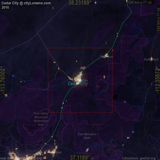
Analysis of Cedar City night lights 2016
Square area 10x10 km:
 2.72%
2.72%90-99
4.76%80-89
1.87%70-79
9.86%60-69
6.63%50-59
6.12%40-49
2.72%30-39
1.19%20-29
2.72%10-19
35.03%0-9
26.36%Square area 50x50 km:
0.11%90-99
0.19%80-89
0.1%70-79
0.49%60-69
0.56%50-59
0.47%40-49
0.3%30-39
0.27%20-29
0.26%10-19
2.1%0-9
95.13%Clear (daylight) street map image can be seen on geolist.org.
Map coordinates:
38° 13' 54.8" North, 113° 45' 54.1" West
37° 40' 38.9" North, 113° 3' 42.8" West
37° 7' 8" North, 112° 21' 31.6" West
Some cities around Cedar City sort by population:
• Saint George
78.7 km =48.9 mi,  215°
215°
• Washington
72.5 km =45 mi,  212°
212°
• Mesquite
131.6 km =81.8 mi, 222°
• Hurricane
59.4 km =36.9 mi,  199°
199°
• Ivins
78.6 km =48.8 mi, 223°
• Richfield
148.7 km =92.4 mi,  35°
35°
• Santa Clara
80 km =49.7 mi, 220°
• Enoch
11.2 km =7 mi,  17°
17°
5536630 (p: 30,184)
Sources (retrieved 2019-11-25):
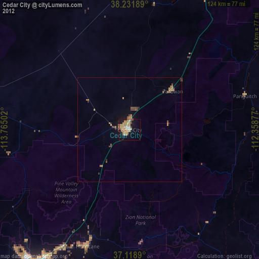
» Earth at Night: Flat Maps 2012, 2016