Hamilton night lights from space
Night Light of Hamilton (Ohio) from space (United States) Src. Average luminocity for 10x10km area is 72.3963% and for 50x50km: 42.3333%.
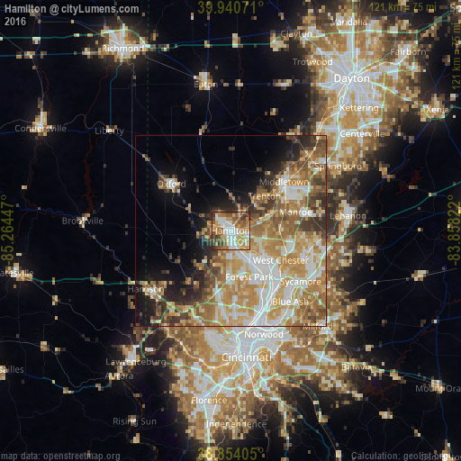
Analysis of Hamilton night lights 2016
Square area 10x10 km:
 14.12%
90-99
17.69%80-89
8.84%70-79
15.82%60-69
13.78%50-59
10.54%40-49
9.69%30-39
7.99%20-29
1.53%10-19
0%0-9
0%Square area 50x50 km:
6.97%90-99
8.83%80-89
6.07%70-79
8.74%60-69
8.28%50-59
6.32%40-49
4.44%30-39
4.88%20-29
4.96%10-19
7.13%0-9
33.39%Clear (daylight) street map image can be seen on geolist.org.
Map coordinates:
39° 56' 26.6" North, 85° 15' 52.1" West
39° 23' 58.2" North, 84° 33' 40.8" West
38° 51' 14.6" North, 83° 51' 29.6" West
Some cities around Hamilton sort by population:
• Fairfield
6 km =3.7 mi,  179°
179°
• Forest Park
13.1 km =8.1 mi,  157°
157°
• Trenton
12.7 km =7.9 mi,  44°
44°
• Springdale
14.1 km =8.8 mi,  152°
152°
• Northbrook
17.1 km =10.6 mi,  186°
186°
• Beckett Ridge
12.3 km =7.6 mi,  118°
118°
• Northgate
16.5 km =10.3 mi, 189°
• New Burlington
15.6 km =9.7 mi, 178°
4513575 (p: 62,407)
Sources (retrieved 2019-11-25):
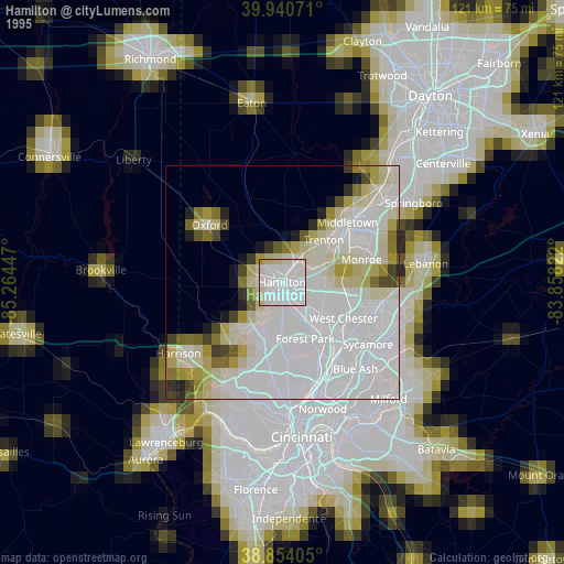
» NASA, Earths city lights 1995
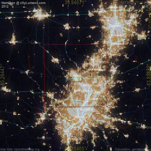
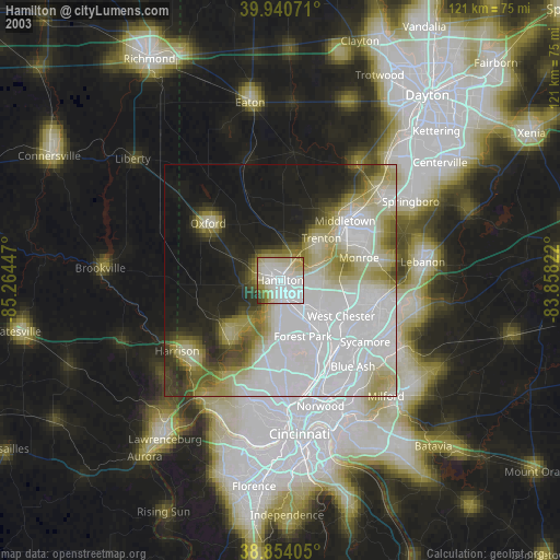
» NASA city lights 2003
» Earth at Night: Flat Maps 2012, 2016