Newton night lights from space
Night Light of Newton (Iowa) from space (United States) Src. Average luminocity for 10x10km area is 24.7873% and for 50x50km: 1.8857%.
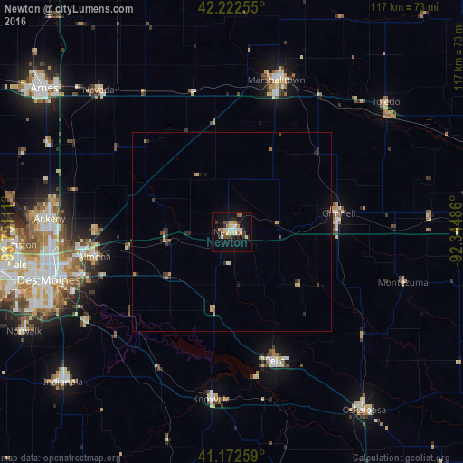
Analysis of Newton night lights 2016
Square area 10x10 km:
 2.6%
2.6%90-99
4.55%80-89
4.22%70-79
1.79%60-69
4.38%50-59
1.3%40-49
3.25%30-39
2.6%20-29
5.52%10-19
25.81%0-9
43.99%Square area 50x50 km:
0.12%90-99
0.19%80-89
0.32%70-79
0.26%60-69
0.3%50-59
0.17%40-49
0.26%30-39
0.24%20-29
0.6%10-19
1.17%0-9
96.37%Clear (daylight) street map image can be seen on geolist.org.
Map coordinates:
42° 13' 21.2" North, 93° 45' 4" West
41° 41' 59" North, 93° 2' 52.7" West
41° 10' 21.3" North, 92° 20' 41.5" West
Some cities around Newton sort by population:
• Des Moines
47.9 km =29.8 mi,  256°
256°
• Ankeny
46.4 km =28.8 mi,  274°
274°
• Marshalltown
40.6 km =25.2 mi,  16°
16°
• Altoona
35.2 km =21.9 mi, 259°
• Pella
34.2 km =21.3 mi,  161°
161°
• Pleasant Hill
41.3 km =25.7 mi,  251°
251°
• Grinnell
27.4 km =17 mi,  79°
79°
• Knoxville
42.4 km =26.3 mi,  186°
186°
4868907 (p: 15,125)
Sources (retrieved 2019-11-25):
» Earth at Night: Flat Maps 2012, 2016