Orcutt night lights from space
Night Light of Orcutt (California) from space (United States) Src. Average luminocity for 10x10km area is 26.4249% and for 50x50km: 6.6489%.
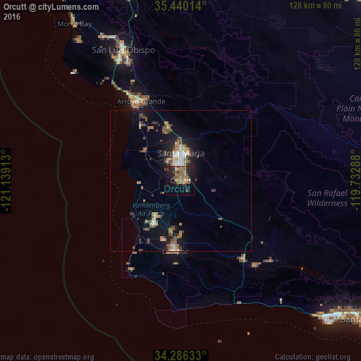
Analysis of Orcutt night lights 2016
Square area 10x10 km:
 0.73%
0.73%90-99
1.1%80-89
1.1%70-79
2.93%60-69
10.44%50-59
8.06%40-49
4.95%30-39
3.11%20-29
10.07%10-19
22.53%0-9
34.98%Square area 50x50 km:
0.52%90-99
0.77%80-89
0.27%70-79
0.91%60-69
1.38%50-59
1.07%40-49
1.57%30-39
1.05%20-29
1.44%10-19
5.48%0-9
85.54%Clear (daylight) street map image can be seen on geolist.org.
Map coordinates:
35° 26' 24.5" North, 121° 8' 20.9" West
34° 51' 54.9" North, 120° 26' 9.6" West
34° 17' 10.8" North, 119° 43' 58.4" West
Some cities around Orcutt sort by population:
• Santa Maria
9.8 km =6.1 mi,  0°
0°
• Lompoc
25.2 km =15.7 mi,  184°
184°
• Arroyo Grande
31.5 km =19.6 mi,  333°
333°
• Nipomo
20.1 km =12.5 mi,  349°
349°
• Grover Beach
33.1 km =20.6 mi, 329°
• Guadalupe
17.1 km =10.6 mi,  313°
313°
• Oceano
30.5 km =19 mi, 328°
• Vandenberg Village
17.7 km =11 mi,  189°
189°
5379609 (p: 28,905)
Sources (retrieved 2019-11-25):
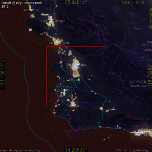
» Earth at Night: Flat Maps 2012, 2016