Olney night lights from space
Night Light of Olney (Maryland) from space (United States) Src. Average luminocity for 10x10km area is 56.9367% and for 50x50km: 58.2102%.
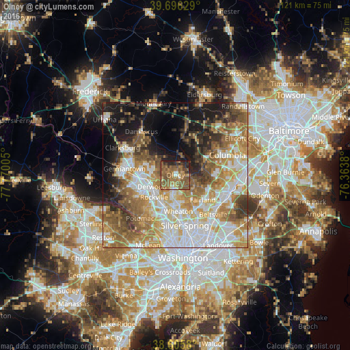
Analysis of Olney night lights 2016
Square area 10x10 km:
 2.11%
2.11%90-99
4.06%80-89
5.68%70-79
8.6%60-69
24.03%50-59
29.55%40-49
7.63%30-39
6.49%20-29
9.74%10-19
2.11%0-9
0%Square area 50x50 km:
13.36%90-99
11.63%80-89
7.71%70-79
9.59%60-69
10.2%50-59
9.71%40-49
5.79%30-39
5.51%20-29
6.43%10-19
12.08%0-9
8%Clear (daylight) street map image can be seen on geolist.org.
Map coordinates:
39° 41' 46.6" North, 77° 46' 12.2" West
39° 9' 11.4" North, 77° 4' 0.9" West
38° 36' 20.9" North, 76° 21' 49.7" West
Some cities around Olney sort by population:
• Aspen Hill
8.2 km =5.1 mi,  183°
183°
• Redland
6.7 km =4.2 mi,  262°
262°
• Cloverly
7.8 km =4.8 mi,  129°
129°
• Colesville
10.3 km =6.4 mi,  146°
146°
• Leisure World
5.7 km =3.5 mi, 181°
• Rossmoor
5.5 km =3.4 mi, 183°
• Ashton-Sandy Spring
5.3 km =3.3 mi,  94°
94°
• Layhill
7 km =4.3 mi,  163°
163°
4364537 (p: 33,844)
Sources (retrieved 2019-11-25):
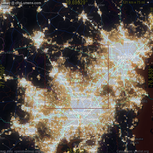
» Earth at Night: Flat Maps 2012, 2016