Ocoee night lights from space
Night Light of Ocoee (Florida) from space (United States) Src. Average luminocity for 10x10km area is 89.4905% and for 50x50km: 65.6673%.
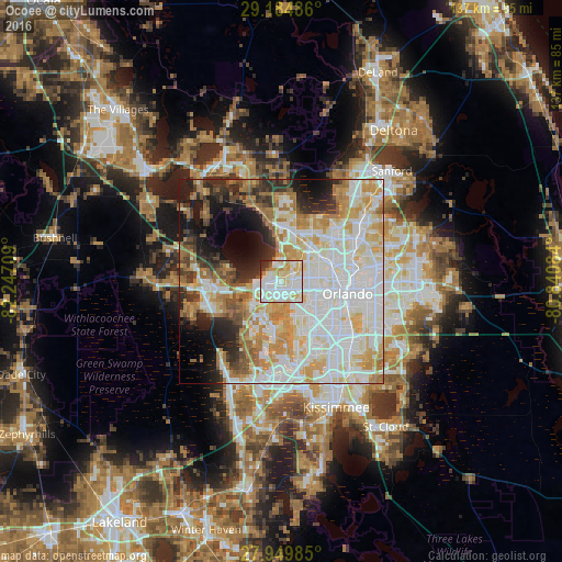
Analysis of Ocoee night lights 2016
Square area 10x10 km:
 30.87%
90-99
35.42%80-89
19.13%70-79
5.68%60-69
1.52%50-59
1.33%40-49
1.52%30-39
3.03%20-29
1.52%10-19
0%0-9
0%Square area 50x50 km:
20.21%90-99
18.69%80-89
8.04%70-79
8.65%60-69
9.09%50-59
3.34%40-49
3.59%30-39
4.53%20-29
6.62%10-19
8.68%0-9
8.55%Clear (daylight) street map image can be seen on geolist.org.
Map coordinates:
29° 11' 5.5" North, 82° 14' 49.5" West
28° 34' 9" North, 81° 32' 38.3" West
27° 56' 59.5" North, 80° 50' 27" West
Some cities around Ocoee sort by population:
• Pine Hills
8.9 km =5.5 mi,  98°
98°
• Apopka
12.3 km =7.6 mi,  14°
14°
• Winter Garden
4.1 km =2.5 mi,  264°
264°
• Lake Butler
7.5 km =4.7 mi,  177°
177°
• Lockhart
11.4 km =7.1 mi,  60°
60°
• Doctor Phillips
14.2 km =8.8 mi,  159°
159°
• Orlovista
8.9 km =5.5 mi,  112°
112°
• South Apopka
10.8 km =6.7 mi,  18°
18°
4166776 (p: 43,608)
Sources (retrieved 2019-11-25):
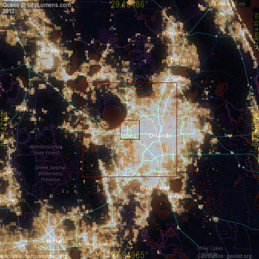
» Earth at Night: Flat Maps 2012, 2016