Apopka night lights from space
Night Light of Apopka (Florida) from space (United States) Src. Average luminocity for 10x10km area is 81.8598% and for 50x50km: 60.8756%.
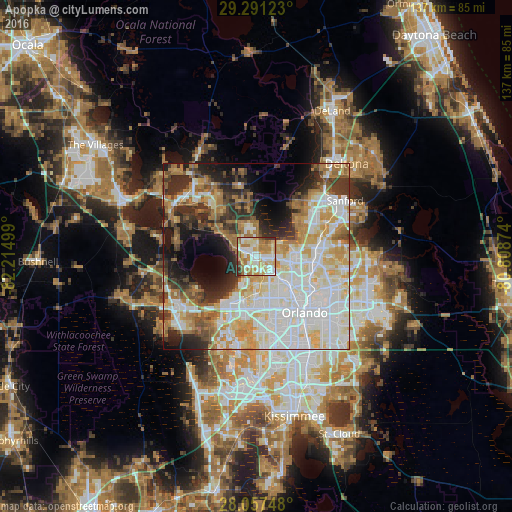
Analysis of Apopka night lights 2016
Square area 10x10 km:
 18.75%
90-99
24.05%80-89
15.91%70-79
13.83%60-69
17.05%50-59
4.36%40-49
1.52%30-39
4.55%20-29
0%10-19
0%0-9
0%Square area 50x50 km:
17.08%90-99
16.34%80-89
7.44%70-79
7.16%60-69
9.98%50-59
4.06%40-49
4.11%30-39
6.44%20-29
7.98%10-19
8.67%0-9
10.74%Clear (daylight) street map image can be seen on geolist.org.
Map coordinates:
29° 17' 28.4" North, 82° 12' 54" West
28° 40' 34.2" North, 81° 30' 42.7" West
28° 3' 26.9" North, 80° 48' 31.5" West
Some cities around Apopka sort by population:
• Pine Hills
14.3 km =8.9 mi,  156°
156°
• Ocoee
12.3 km =7.6 mi,  194°
194°
• Altamonte Springs
14.4 km =8.9 mi,  96°
96°
• Winter Garden
14.3 km =8.9 mi,  210°
210°
• Wekiwa Springs
8.8 km =5.5 mi,  73°
73°
• Forest City
6.8 km =4.2 mi, 98°
• Lockhart
9.2 km =5.7 mi,  133°
133°
• South Apopka
1.6 km =1 mi,  171°
171°
4146166 (p: 48,382)
Sources (retrieved 2019-11-25):
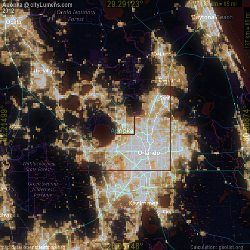
» Earth at Night: Flat Maps 2012, 2016