Baldwin night lights from space
Night Light of Baldwin (New York) from space (United States) Src. Average luminocity for 10x10km area is 92.6461% and for 50x50km: 53.4431%.
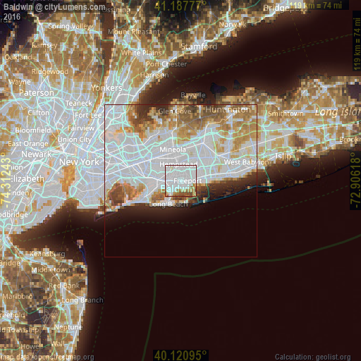
Analysis of Baldwin night lights 2016
Square area 10x10 km:
 62.18%
90-99
17.05%80-89
5.03%70-79
3.73%60-69
4.38%50-59
5.03%40-49
2.6%30-39
0%20-29
0%10-19
0%0-9
0%Square area 50x50 km:
25.25%90-99
12.05%80-89
4.06%70-79
5.18%60-69
5.35%50-59
3.72%40-49
2.57%30-39
2.45%20-29
3.74%10-19
3.9%0-9
31.73%Clear (daylight) street map image can be seen on geolist.org.
Map coordinates:
41° 11' 16" North, 74° 18' 44.7" West
40° 39' 23.4" North, 73° 36' 33.5" West
40° 7' 15.4" North, 72° 54' 22.2" West
Some cities around Baldwin sort by population:
• Freeport
2.2 km =1.4 mi,  86°
86°
• Oceanside
3.3 km =2.1 mi,  232°
232°
• Uniondale
5.1 km =3.2 mi,  15°
15°
• Rockville Centre
2.7 km =1.7 mi,  275°
275°
• Merrick
4.9 km =3 mi,  81°
81°
• Roosevelt
3 km =1.9 mi,  34°
34°
• East Rockaway
5.3 km =3.3 mi,  252°
252°
• Lakeview
4.9 km =3 mi,  311°
311°
5107760 (p: 24,033)
Sources (retrieved 2019-11-25):
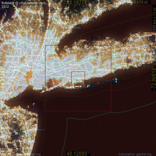
» Earth at Night: Flat Maps 2012, 2016