Freeport night lights from space
Night Light of Freeport (New York) from space (United States) Src. Average luminocity for 10x10km area is 88.8474% and for 50x50km: 52.2692%.
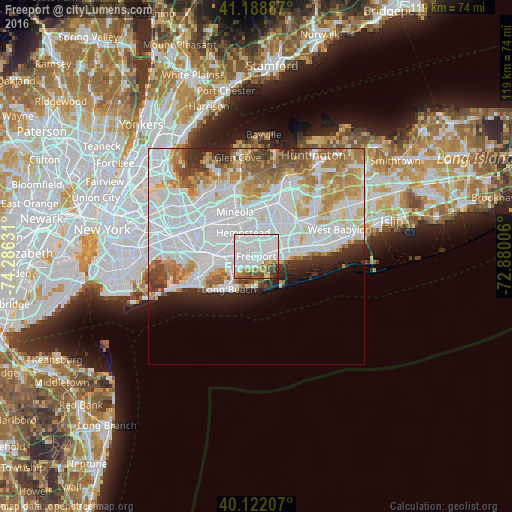
Analysis of Freeport night lights 2016
Square area 10x10 km:
 58.77%
90-99
13.8%80-89
5.36%70-79
3.73%60-69
5.19%50-59
4.71%40-49
5.19%30-39
2.6%20-29
0.65%10-19
0%0-9
0%Square area 50x50 km:
23.62%90-99
11.94%80-89
4.43%70-79
5.45%60-69
5.44%50-59
3.66%40-49
2.58%30-39
2.43%20-29
3.86%10-19
3.89%0-9
32.69%Clear (daylight) street map image can be seen on geolist.org.
Map coordinates:
41° 11' 19.9" North, 74° 17' 10.7" West
40° 39' 27.4" North, 73° 34' 59.4" West
40° 7' 19.5" North, 72° 52' 48.2" West
Some cities around Freeport sort by population:
• Uniondale
4.8 km =3 mi,  350°
350°
• Rockville Centre
4.9 km =3 mi,  271°
271°
• Baldwin
2.2 km =1.4 mi, 266°
• Merrick
2.7 km =1.7 mi,  77°
77°
• Roosevelt
2.4 km =1.5 mi, 348°
• Bellmore
4.9 km =3 mi, 75°
• North Merrick
4.1 km =2.5 mi,  24°
24°
• Baldwin Harbor
2.9 km =1.8 mi,  226°
226°
5117949 (p: 43,334)
Sources (retrieved 2019-11-25):
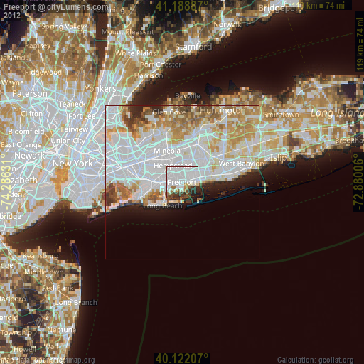
» Earth at Night: Flat Maps 2012, 2016