Worth night lights from space
Night Light of Worth (Illinois) from space (United States) Src. Average luminocity for 10x10km area is 90.6786% and for 50x50km: 84.4673%.
Analysis of Worth night lights 2016
Square area 10x10 km:
 42.37%
90-99
26.62%80-89
8.93%70-79
7.14%60-69
13.8%50-59
1.14%40-49
0%30-39
0%20-29
0%10-19
0%0-9
0%Square area 50x50 km:
37.82%90-99
20.2%80-89
10.43%70-79
10%60-69
8.87%50-59
5.74%40-49
2.24%30-39
1.29%20-29
0.85%10-19
0.82%0-9
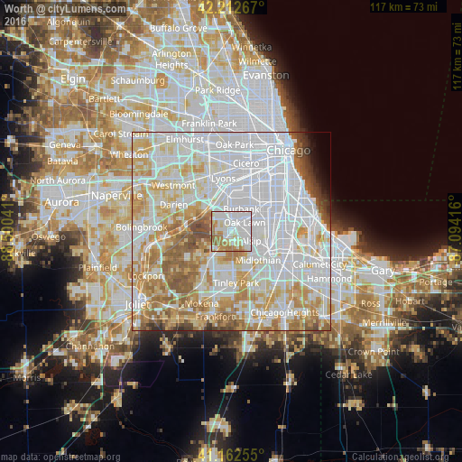
1.74%Clear (daylight) street map image can be seen on geolist.org.
Map coordinates:
42° 12' 45.6" North, 88° 30' 1.5" West
41° 41' 23.1" North, 87° 47' 50.2" West
41° 9' 45.2" North, 87° 5' 39" West
Some cities around Worth sort by population:
• Oak Lawn
4 km =2.5 mi,  54°
54°
• Burbank
5.1 km =3.2 mi,  16°
16°
• Alsip
5.4 km =3.4 mi,  115°
115°
• Palos Hills
1.8 km =1.1 mi,  295°
295°
• Bridgeview
6.7 km =4.2 mi,  355°
355°
• Chicago Ridge
2 km =1.2 mi, 49°
• Hickory Hills
4.6 km =2.9 mi,  329°
329°
• Palos Heights
2.4 km =1.5 mi,  178°
178°
4917171 (p: 10,784)
Sources (retrieved 2019-11-25):
» Earth at Night: Flat Maps 2012, 2016