Tinley Park night lights from space
Night Light of Tinley Park (Illinois) from space (United States) Src. Average luminocity for 10x10km area is 89.1558% and for 50x50km: 68.2731%.
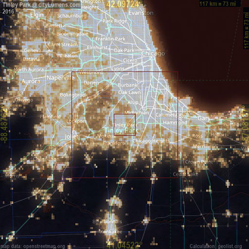
Analysis of Tinley Park night lights 2016
Square area 10x10 km:
 26.79%
90-99
29.06%80-89
17.53%70-79
18.34%60-69
8.28%50-59
0%40-49
0%30-39
0%20-29
0%10-19
0%0-9
0%Square area 50x50 km:
25.22%90-99
14.83%80-89
8.98%70-79
9.64%60-69
9.23%50-59
6.62%40-49
3.09%30-39
2.51%20-29
3.54%10-19
5.41%0-9
10.94%Clear (daylight) street map image can be seen on geolist.org.
Map coordinates:
42° 5' 50.1" North, 88° 29' 15.4" West
41° 34' 24.1" North, 87° 47' 4.2" West
41° 2' 42.8" North, 87° 4' 52.9" West
Some cities around Tinley Park sort by population:
• Orland Park
8.6 km =5.3 mi,  317°
317°
• Oak Forest
4.7 km =2.9 mi,  45°
45°
• Country Club Hills
5.4 km =3.4 mi,  96°
96°
• Midlothian
8 km =5 mi,  43°
43°
• Hazel Crest
7.5 km =4.7 mi,  91°
91°
• Markham
7.8 km =4.8 mi,  73°
73°
• Frankfort Square
6.2 km =3.9 mi,  194°
194°
• Orland Hills
5.1 km =3.2 mi,  285°
285°
4913723 (p: 57,143)
Sources (retrieved 2019-11-25):
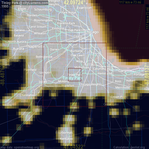
» NASA, Earths city lights 1995
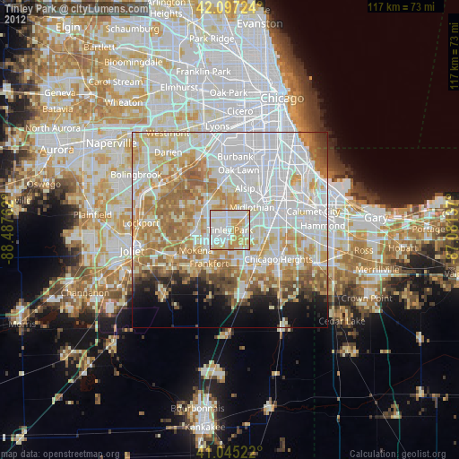
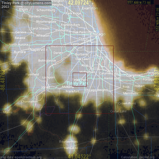
» NASA city lights 2003
» Earth at Night: Flat Maps 2012, 2016