Hazel Crest night lights from space
Night Light of Hazel Crest (Illinois) from space (United States) Src. Average luminocity for 10x10km area is 92.3133% and for 50x50km: 67.0685%.
Analysis of Hazel Crest night lights 2016
Square area 10x10 km:
 34.58%
90-99
31.66%80-89
19.81%70-79
11.69%60-69
2.27%50-59
0%40-49
0%30-39
0%20-29
0%10-19
0%0-9
0%Square area 50x50 km:
25.43%90-99
14.61%80-89
8.24%70-79
8.25%60-69
8.65%50-59
6.98%40-49
3.52%30-39
3.35%20-29
4.14%10-19
5.63%0-9
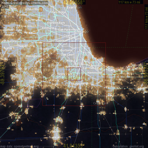
11.2%Clear (daylight) street map image can be seen on geolist.org.
Map coordinates:
42° 5' 44.1" North, 88° 23' 51.4" West
41° 34' 18.1" North, 87° 41' 40.2" West
41° 2' 36.7" North, 86° 59' 28.9" West
Some cities around Hazel Crest sort by population:
• Oak Forest
5.4 km =3.4 mi,  310°
310°
• Harvey
5.8 km =3.6 mi,  42°
42°
• Homewood
2.9 km =1.8 mi,  123°
123°
• Country Club Hills
2.2 km =1.4 mi,  259°
259°
• Midlothian
6.3 km =3.9 mi,  342°
342°
• Markham
2.4 km =1.5 mi,  359°
359°
• Flossmoor
3.3 km =2.1 mi,  165°
165°
• Posen
6.8 km =4.2 mi,  9°
9°
4895416 (p: 14,118)
Sources (retrieved 2019-11-25):
» Earth at Night: Flat Maps 2012, 2016