Artesia night lights from space
Night Light of Artesia (California) from space (United States) Src. Average luminocity for 10x10km area is 98.6818% and for 50x50km: 85.4009%.
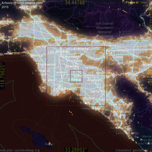
Analysis of Artesia night lights 2016
Square area 10x10 km:
 65.21%
90-99
30.59%80-89
4.2%70-79
0%60-69
0%50-59
0%40-49
0%30-39
0%20-29
0%10-19
0%0-9
0%Square area 50x50 km:
49.49%90-99
22.34%80-89
5.25%70-79
6.18%60-69
3.93%50-59
1.64%40-49
0.95%30-39
0.79%20-29
1.87%10-19
2.42%0-9
5.15%Clear (daylight) street map image can be seen on geolist.org.
Map coordinates:
34° 26' 51.6" North, 118° 47' 10.5" West
33° 51' 57.1" North, 118° 4' 59.2" West
33° 16' 48.1" North, 117° 22' 48" West
Some cities around Artesia sort by population:
• Norwalk
4 km =2.5 mi,  1°
1°
• Lakewood
4.9 km =3 mi,  253°
253°
• Bellflower
3.6 km =2.2 mi,  299°
299°
• Cerritos
1.9 km =1.2 mi,  116°
116°
• Cypress
6.9 km =4.3 mi,  142°
142°
• La Palma
4 km =2.5 mi, 122°
• Hawaiian Gardens
3.9 km =2.4 mi,  166°
166°
• Los Alamitos
7 km =4.3 mi, 172°
5324862 (p: 16,961)
Sources (retrieved 2019-11-25):
» Earth at Night: Flat Maps 2012, 2016