La Palma night lights from space
Night Light of La Palma (California) from space (United States) Src. Average luminocity for 10x10km area is 98.5647% and for 50x50km: 83.0108%.
Analysis of La Palma night lights 2016
Square area 10x10 km:
 65.03%
90-99
30.77%80-89
4.02%70-79
0.17%60-69
0%50-59
0%40-49
0%30-39
0%20-29
0%10-19
0%0-9
0%Square area 50x50 km:
44.99%90-99
21.62%80-89
5.98%70-79
7.49%60-69
5.23%50-59
2.12%40-49
1.23%30-39
0.83%20-29
1.91%10-19
2.26%0-9
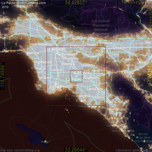
6.34%Clear (daylight) street map image can be seen on geolist.org.
Map coordinates:
34° 25' 42.1" North, 118° 44' 59.5" West
33° 50' 47" North, 118° 2' 48.2" West
33° 15' 37.6" North, 117° 20' 37" West
Some cities around La Palma sort by population:
• Norwalk
7 km =4.3 mi,  332°
332°
• Buena Park
5.1 km =3.2 mi,  62°
62°
• Cerritos
2.1 km =1.3 mi,  308°
308°
• Cypress
3.4 km =2.1 mi,  165°
165°
• Stanton
7 km =4.3 mi,  134°
134°
• Artesia
4 km =2.5 mi,  302°
302°
• Hawaiian Gardens
2.9 km =1.8 mi,  235°
235°
• Los Alamitos
5.4 km =3.4 mi,  206°
206°
5364022 (p: 15,904)
Sources (retrieved 2019-11-25):
» Earth at Night: Flat Maps 2012, 2016