North Lawndale night lights from space
Night Light of North Lawndale (Illinois) from space (United States) Src. Average luminocity for 10x10km area is 100% and for 50x50km: 71.1685%.

Analysis of North Lawndale night lights 2016
Square area 10x10 km:
 100%
100%90-99
0%80-89
0%70-79
0%60-69
0%50-59
0%40-49
0%30-39
0%20-29
0%10-19
0%0-9
0%Square area 50x50 km:
41.51%90-99
16.66%80-89
6.06%70-79
3.5%60-69
2.69%50-59
2.69%40-49
2.19%30-39
1.65%20-29
1.77%10-19
2.46%0-9
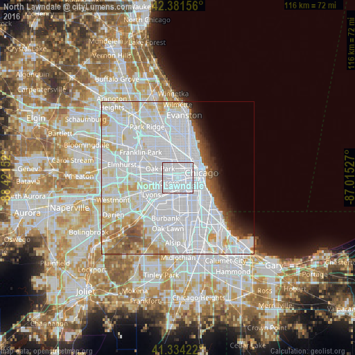
18.84%Clear (daylight) street map image can be seen on geolist.org.
Map coordinates:
42° 22' 53.6" North, 88° 25' 17.5" West
41° 51' 36.1" North, 87° 43' 6.2" West
41° 20' 3.2" North, 87° 0' 55" West
Some cities around North Lawndale sort by population:
• West Town
5.2 km =3.2 mi,  43°
43°
• Cicero
3.4 km =2.1 mi,  241°
241°
• South Lawndale
1.9 km =1.2 mi,  165°
165°
• Brighton Park
4.8 km =3 mi,  160°
160°
• Lower West Side
4.4 km =2.7 mi,  98°
98°
• East Garfield Park
2.7 km =1.7 mi,  29°
29°
• West Garfield Park
2.5 km =1.6 mi,  338°
338°
• McKinley Park
4.9 km =3 mi,  130°
130°
4903940 (p: 35,276)
Sources (retrieved 2019-11-25):
» Earth at Night: Flat Maps 2012, 2016