Lower West Side night lights from space
Night Light of Lower West Side (Illinois) from space (United States) Src. Average luminocity for 10x10km area is 99.0492% and for 50x50km: 64.3089%.
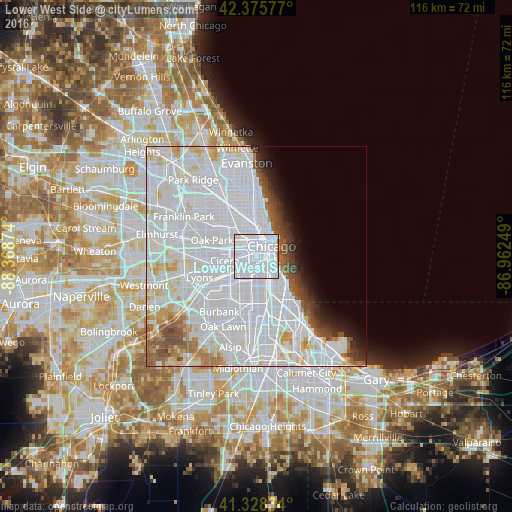
Analysis of Lower West Side night lights 2016
Square area 10x10 km:
 88.25%
90-99
9.52%80-89
0%70-79
0.48%60-69
1.59%50-59
0.16%40-49
0%30-39
0%20-29
0%10-19
0%0-9
0%Square area 50x50 km:
39.4%90-99
14.06%80-89
4.18%70-79
2.38%60-69
2.52%50-59
2.78%40-49
2.27%30-39
1.91%20-29
2%10-19
2.82%0-9
25.69%Clear (daylight) street map image can be seen on geolist.org.
Map coordinates:
42° 22' 32.8" North, 88° 22' 7.5" West
41° 51' 15.1" North, 87° 39' 56.2" West
41° 19' 42" North, 86° 57' 45" West
Some cities around Lower West Side sort by population:
• Chicago
1.4 km =0.9 mi,  109°
109°
• South Lawndale
4.1 km =2.5 mi,  253°
253°
• North Lawndale
4.4 km =2.7 mi,  278°
278°
• Bridgeport
2.2 km =1.4 mi,  146°
146°
• Chicago Loop
4.3 km =2.7 mi,  38°
38°
• Near South Side
3.4 km =2.1 mi,  85°
85°
• East Garfield Park
4.3 km =2.7 mi,  313°
313°
• McKinley Park
2.6 km =1.6 mi,  194°
194°
4900611 (p: 34,410)
Sources (retrieved 2019-11-25):
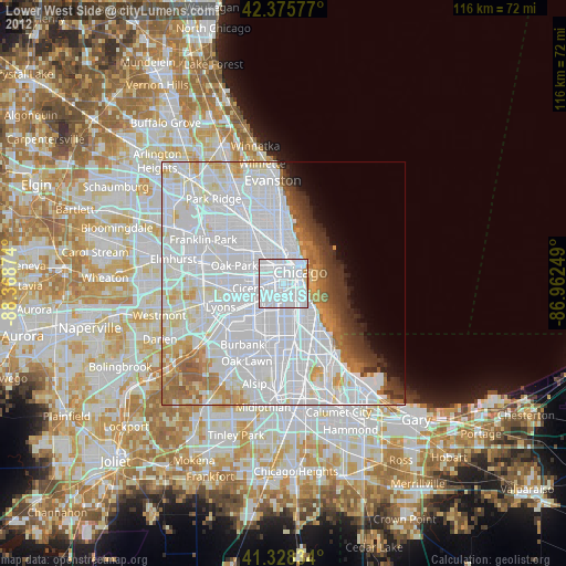
» Earth at Night: Flat Maps 2012, 2016