Cicero night lights from space
Night Light of Cicero (Illinois) from space (United States) Src. Average luminocity for 10x10km area is 99.8333% and for 50x50km: 77.2421%.
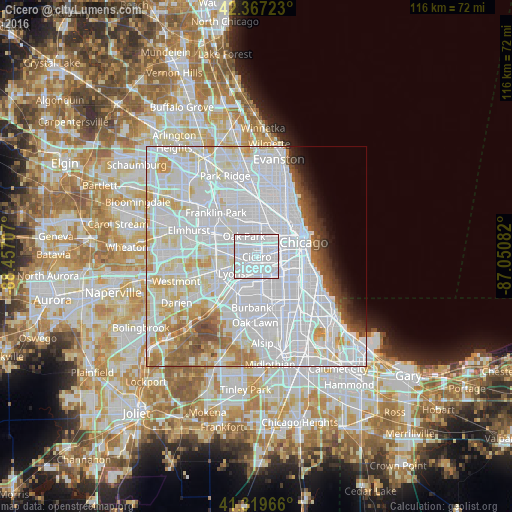
Analysis of Cicero night lights 2016
Square area 10x10 km:
 93.02%
90-99
6.98%80-89
0%70-79
0%60-69
0%50-59
0%40-49
0%30-39
0%20-29
0%10-19
0%0-9
0%Square area 50x50 km:
44.21%90-99
18.69%80-89
6.77%70-79
4.12%60-69
3.29%50-59
2.91%40-49
2.13%30-39
1.58%20-29
1.54%10-19
2.07%0-9
12.7%Clear (daylight) street map image can be seen on geolist.org.
Map coordinates:
42° 22' 2" North, 88° 27' 25.5" West
41° 50' 44.1" North, 87° 45' 14.2" West
41° 19' 10.8" North, 87° 3' 3" West
Some cities around Cicero sort by population:
• South Lawndale
3.4 km =2.1 mi,  93°
93°
• Berwyn
3.3 km =2.1 mi,  279°
279°
• Oak Park
5.1 km =3.2 mi,  330°
330°
• Brighton Park
5.4 km =3.4 mi,  123°
123°
• North Lawndale
3.4 km =2.1 mi,  61°
61°
• West Garfield Park
4.4 km =2.7 mi,  27°
27°
• Stickney
3.6 km =2.2 mi,  221°
221°
• North Riverside
5.7 km =3.5 mi,  266°
266°
4888015 (p: 83,886)
Sources (retrieved 2019-11-25):
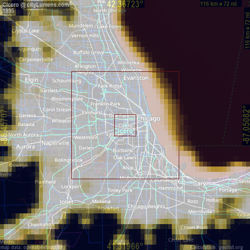
» NASA, Earths city lights 1995
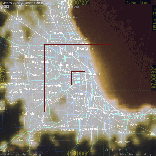
» NASA city lights 2003
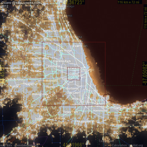
» Earth at Night: Flat Maps 2012, 2016