West Town night lights from space
Night Light of West Town (Illinois) from space (United States) Src. Average luminocity for 10x10km area is 98.3413% and for 50x50km: 62.0671%.
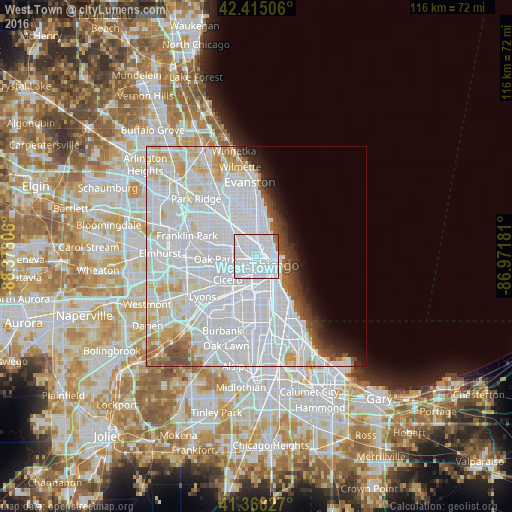
Analysis of West Town night lights 2016
Square area 10x10 km:
 90.32%
90-99
5.87%80-89
0%70-79
0%60-69
1.9%50-59
1.9%40-49
0%30-39
0%20-29
0%10-19
0%0-9
0%Square area 50x50 km:
37.69%90-99
13.69%80-89
4.78%70-79
2.71%60-69
1.79%50-59
2.07%40-49
2.15%30-39
1.7%20-29
2.11%10-19
3.07%0-9
28.25%Clear (daylight) street map image can be seen on geolist.org.
Map coordinates:
42° 24' 54.2" North, 88° 22' 41" West
41° 53' 37.7" North, 87° 40' 29.7" West
41° 22' 5.8" North, 86° 58' 18.5" West
Some cities around West Town sort by population:
• Chicago
5.3 km =3.3 mi,  157°
157°
• Near North Side
3.4 km =2.1 mi,  78°
78°
• Logan Square
3.9 km =2.4 mi,  328°
328°
• Lincoln Park
3.8 km =2.4 mi,  35°
35°
• North Lawndale
5.2 km =3.2 mi,  223°
223°
• Lower West Side
4.5 km =2.8 mi,  170°
170°
• Chicago Loop
3.6 km =2.2 mi,  107°
107°
• East Garfield Park
2.7 km =1.7 mi,  238°
238°
4916118 (p: 86,429)
Sources (retrieved 2019-11-25):
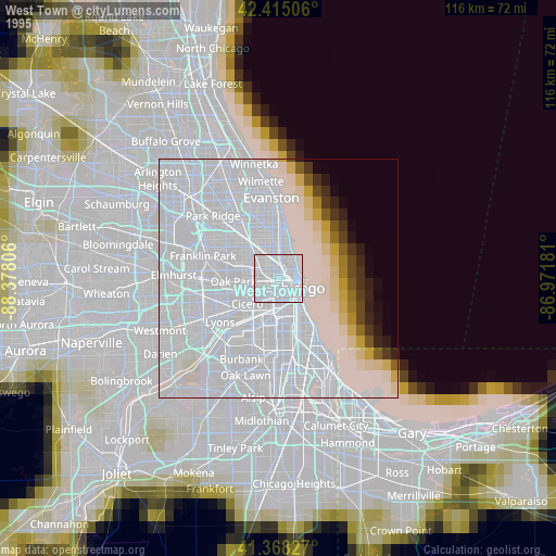
» NASA, Earths city lights 1995
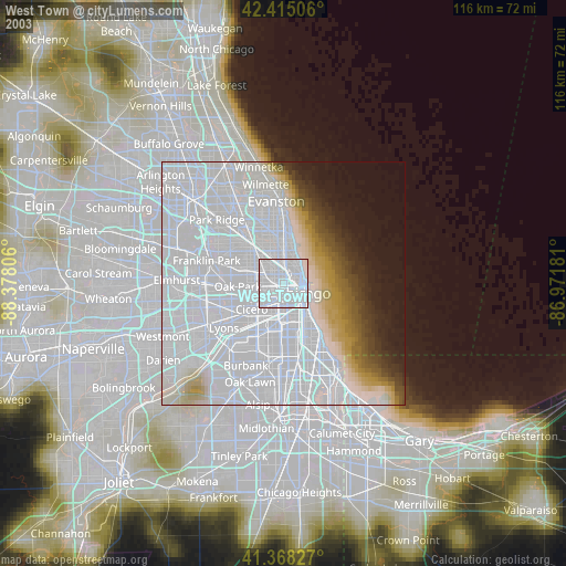
» NASA city lights 2003
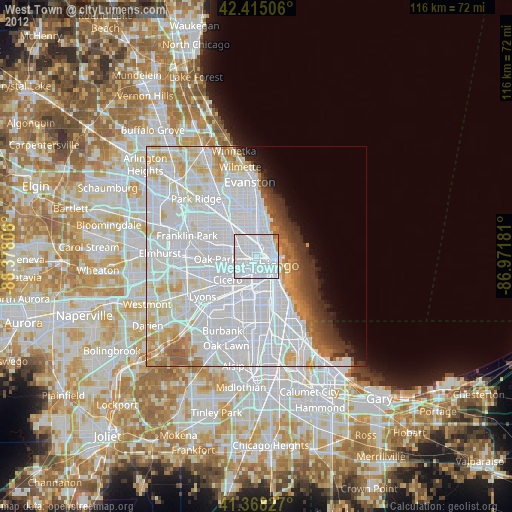
» Earth at Night: Flat Maps 2012, 2016