North Chicopee night lights from space
Night Light of North Chicopee (Massachusetts) from space (United States) Src. Average luminocity for 10x10km area is 80.6667% and for 50x50km: 22.9031%.
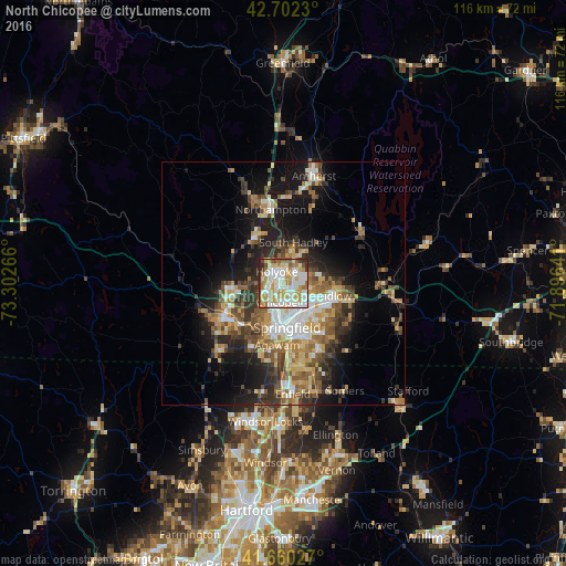
Analysis of North Chicopee night lights 2016
Square area 10x10 km:
 24.09%
90-99
23.94%80-89
11.52%70-79
15.45%60-69
7.42%50-59
6.36%40-49
3.03%30-39
4.85%20-29
3.33%10-19
0%0-9
0%Square area 50x50 km:
3.18%90-99
3.63%80-89
3.52%70-79
3.31%60-69
3.52%50-59
3.41%40-49
3.44%30-39
3.97%20-29
5.27%10-19
10.93%0-9
55.81%Clear (daylight) street map image can be seen on geolist.org.
Map coordinates:
42° 42' 8.3" North, 73° 18' 9.6" West
42° 11' 0.3" North, 72° 35' 58.3" West
41° 39' 37" North, 71° 53' 47.1" West
Some cities around North Chicopee sort by population:
• Springfield
9.1 km =5.7 mi,  174°
174°
• Chicopee
3.9 km =2.4 mi,  190°
190°
• Holyoke
2.7 km =1.7 mi,  329°
329°
• West Springfield
8.7 km =5.4 mi, 191°
• Ludlow
10.5 km =6.5 mi,  104°
104°
• South Hadley
8.6 km =5.3 mi,  13°
13°
• Easthampton
10.9 km =6.8 mi, 328°
• Southampton
11.9 km =7.4 mi,  295°
295°
4945588 (p: 55,179)
Sources (retrieved 2019-11-25):
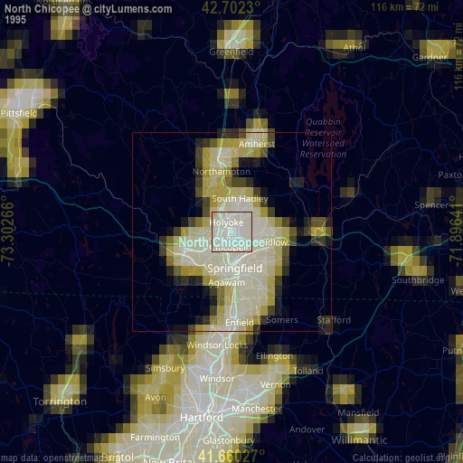
» NASA, Earths city lights 1995
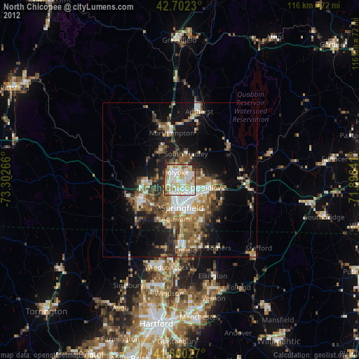
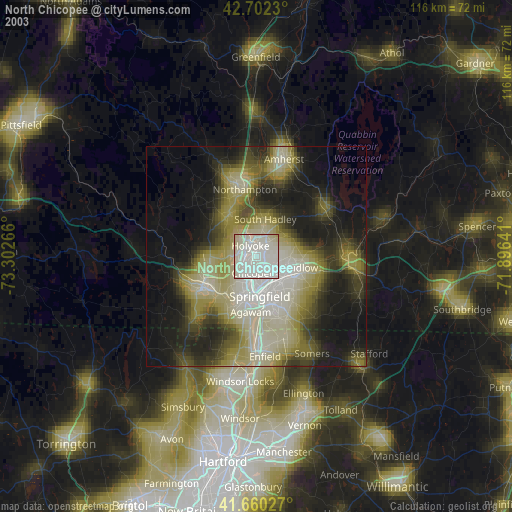
» NASA city lights 2003
» Earth at Night: Flat Maps 2012, 2016