West Springfield night lights from space
Night Light of West Springfield (Massachusetts) from space (United States) Src. Average luminocity for 10x10km area is 78.5333% and for 50x50km: 25.5033%.
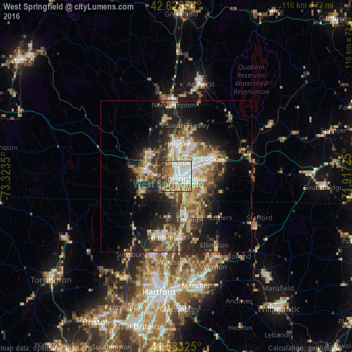
Analysis of West Springfield night lights 2016
Square area 10x10 km:
 23.03%
90-99
21.67%80-89
8.64%70-79
10.91%60-69
11.97%50-59
10.91%40-49
7.12%30-39
5.76%20-29
0%10-19
0%0-9
0%Square area 50x50 km:
3.39%90-99
3.85%80-89
4.32%70-79
3.46%60-69
3.87%50-59
3.99%40-49
3.72%30-39
4.67%20-29
6.81%10-19
11.5%0-9
50.41%Clear (daylight) street map image can be seen on geolist.org.
Map coordinates:
42° 37' 35.5" North, 73° 19' 24.6" West
42° 6' 25.3" North, 72° 37' 13.3" West
41° 34' 59.7" North, 71° 55' 2.1" West
Some cities around West Springfield sort by population:
• Springfield
2.6 km =1.6 mi,  103°
103°
• Chicopee
4.7 km =2.9 mi,  12°
12°
• North Chicopee
8.7 km =5.4 mi, 11°
• Westfield
10.8 km =6.7 mi,  280°
280°
• Holyoke
10.8 km =6.7 mi,  1°
1°
• Agawam
4.2 km =2.6 mi,  173°
173°
• Longmeadow
7 km =4.3 mi,  153°
153°
• East Longmeadow
10.1 km =6.3 mi,  117°
117°
4955089 (p: 27,912)
Sources (retrieved 2019-11-25):
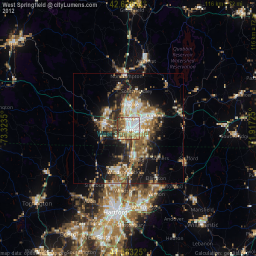
» Earth at Night: Flat Maps 2012, 2016