Ludlow night lights from space
Night Light of Ludlow (Massachusetts) from space (United States) Src. Average luminocity for 10x10km area is 59.6364% and for 50x50km: 23.8379%.
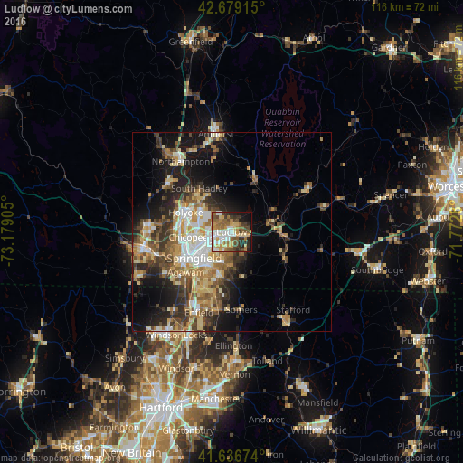
Analysis of Ludlow night lights 2016
Square area 10x10 km:
 10.76%
90-99
11.97%80-89
8.03%70-79
10.3%60-69
10.91%50-59
10.15%40-49
8.48%30-39
7.88%20-29
9.09%10-19
9.85%0-9
2.58%Square area 50x50 km:
3.22%90-99
3.79%80-89
3.89%70-79
3.32%60-69
3.77%50-59
3.55%40-49
3.61%30-39
4.21%20-29
5.54%10-19
10.54%0-9
54.55%Clear (daylight) street map image can be seen on geolist.org.
Map coordinates:
42° 40' 44.9" North, 73° 10' 44.6" West
42° 9' 36.3" North, 72° 28' 33.3" West
41° 38' 12.3" North, 71° 46' 22.1" West
Some cities around Ludlow sort by population:
• Springfield
11.4 km =7.1 mi,  235°
235°
• Chicopee
11 km =6.8 mi,  263°
263°
• North Chicopee
10.5 km =6.5 mi,  284°
284°
• Holyoke
12.6 km =7.8 mi,  293°
293°
• West Springfield
13.3 km =8.3 mi, 243°
• Palmer
12.1 km =7.5 mi,  90°
90°
• East Longmeadow
11 km =6.8 mi,  195°
195°
• Hampden
11.9 km =7.4 mi,  154°
154°
4942744 (p: 22,201)
Sources (retrieved 2019-11-25):
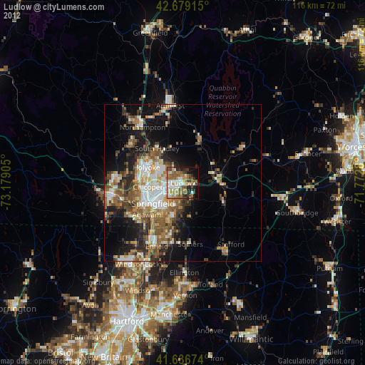
» Earth at Night: Flat Maps 2012, 2016