Wheaton night lights from space
Night Light of Wheaton (Maryland) from space (United States) Src. Average luminocity for 10x10km area is 89.8718% and for 50x50km: 73.9565%.
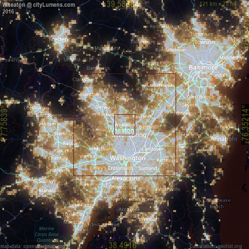
Analysis of Wheaton night lights 2016
Square area 10x10 km:
 26.95%
90-99
29.22%80-89
23.86%70-79
13.64%60-69
6.17%50-59
0.16%40-49
0%30-39
0%20-29
0%10-19
0%0-9
0%Square area 50x50 km:
23.17%90-99
17.57%80-89
9.6%70-79
12.26%60-69
11%50-59
8.34%40-49
4.46%30-39
3.73%20-29
3.78%10-19
3.97%0-9
2.12%Clear (daylight) street map image can be seen on geolist.org.
Map coordinates:
39° 35' 1.8" North, 77° 45' 30.2" West
39° 2' 23.4" North, 77° 3' 18.9" West
38° 29' 29.8" North, 76° 21' 7.7" West
Some cities around Wheaton sort by population:
• Aspen Hill
4.7 km =2.9 mi,  340°
340°
• Glenmont
2.1 km =1.3 mi,  13°
13°
• Kemp Mill
3.1 km =1.9 mi,  91°
91°
• Chevy Chase
4.3 km =2.7 mi,  198°
198°
• North Kensington
1.8 km =1.1 mi,  234°
234°
• South Kensington
3.2 km =2 mi,  222°
222°
• Four Corners
4.3 km =2.7 mi,  120°
120°
• Forest Glen
2.8 km =1.7 mi,  179°
179°
4373349 (p: 48,284)
Sources (retrieved 2019-11-25):
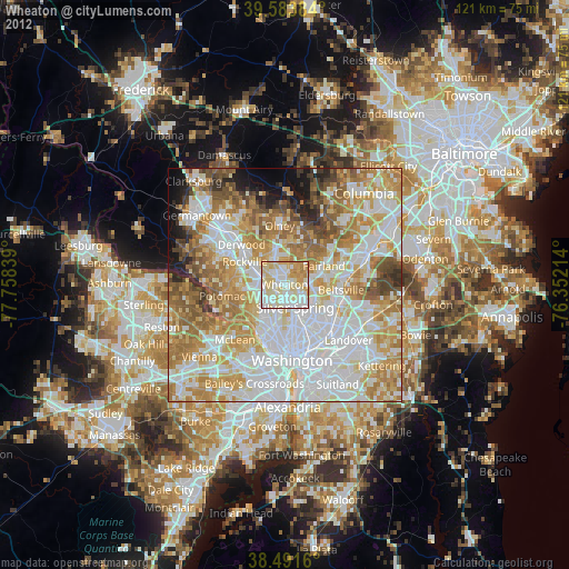
» Earth at Night: Flat Maps 2012, 2016