North Bellport night lights from space
Night Light of North Bellport (New York) from space (United States) Src. Average luminocity for 10x10km area is 47.1088% and for 50x50km: 28.1992%.
Analysis of North Bellport night lights 2016
Square area 10x10 km:
 3.25%
3.25%90-99
4.38%80-89
4.38%70-79
7.63%60-69
15.1%50-59
12.66%40-49
12.01%30-39
6.33%20-29
13.96%10-19
18.67%0-9
1.62%Square area 50x50 km:
3.22%90-99
4.11%80-89
3.89%70-79
5.95%60-69
5.84%50-59
5.42%40-49
4.21%30-39
3%20-29
5.37%10-19
12.94%0-9
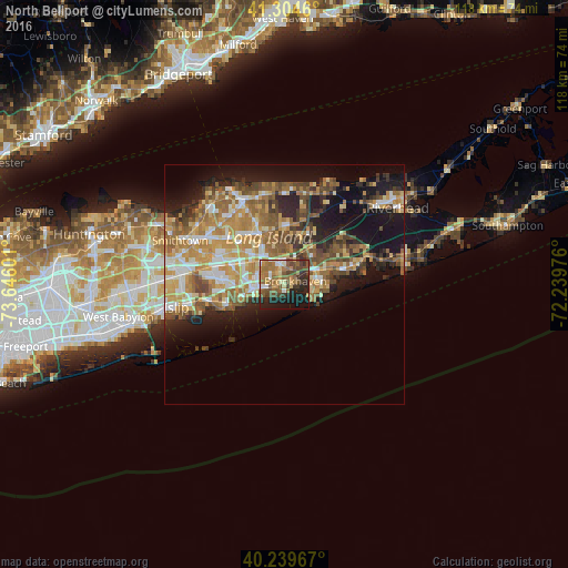
46.06%Clear (daylight) street map image can be seen on geolist.org.
Map coordinates:
41° 18' 16.6" North, 73° 38' 45.6" West
40° 46' 27.4" North, 72° 56' 34.4" West
40° 14' 22.8" North, 72° 14' 23.1" West
Some cities around North Bellport sort by population:
• Shirley
7 km =4.3 mi,  64°
64°
• Medford
6.8 km =4.2 mi,  315°
315°
• East Patchogue
4.6 km =2.9 mi,  259°
259°
• Holtsville
9.7 km =6 mi,  297°
297°
• Mastic
9.1 km =5.7 mi,  70°
70°
• Mastic Beach
7.7 km =4.8 mi,  96°
96°
• Patchogue
6.2 km =3.9 mi, 261°
• Yaphank
7.3 km =4.5 mi,  17°
17°
5128905 (p: 11,545)
Sources (retrieved 2019-11-25):
» Earth at Night: Flat Maps 2012, 2016