East Patchogue night lights from space
Night Light of East Patchogue (New York) from space (United States) Src. Average luminocity for 10x10km area is 58.7857% and for 50x50km: 30.9774%.
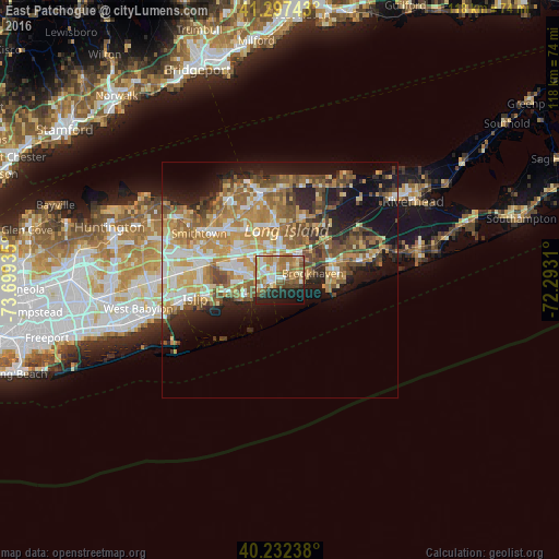
Analysis of East Patchogue night lights 2016
Square area 10x10 km:
 8.6%
8.6%90-99
12.18%80-89
7.47%70-79
11.36%60-69
16.07%50-59
9.9%40-49
4.87%30-39
2.44%20-29
11.69%10-19
13.64%0-9
1.79%Square area 50x50 km:
3.97%90-99
5.24%80-89
4.49%70-79
6.39%60-69
6.19%50-59
5.53%40-49
4.21%30-39
3.12%20-29
5.5%10-19
11.51%0-9
43.84%Clear (daylight) street map image can be seen on geolist.org.
Map coordinates:
41° 17' 50.7" North, 73° 41' 57.7" West
40° 46' 1.3" North, 72° 59' 46.4" West
40° 13' 56.6" North, 72° 17' 35.2" West
Some cities around East Patchogue sort by population:
• Medford
5.6 km =3.5 mi,  356°
356°
• Holtsville
6.8 km =4.2 mi,  322°
322°
• Sayville
8 km =5 mi,  244°
244°
• Farmingville
7.7 km =4.8 mi,  338°
338°
• Patchogue
1.6 km =1 mi,  264°
264°
• North Bellport
4.6 km =2.9 mi,  79°
79°
• Bayport
5.6 km =3.5 mi, 235°
• North Patchogue
2.5 km =1.6 mi,  334°
334°
5116004 (p: 22,469)
Sources (retrieved 2019-11-25):
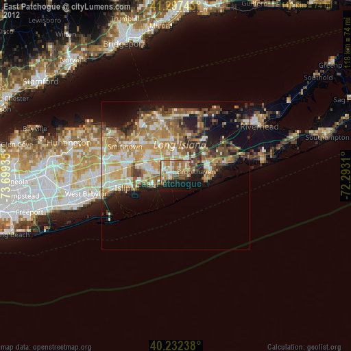
» Earth at Night: Flat Maps 2012, 2016