Medford night lights from space
Night Light of Medford (New York) from space (United States) Src. Average luminocity for 10x10km area is 77.6973% and for 50x50km: 31.6525%.
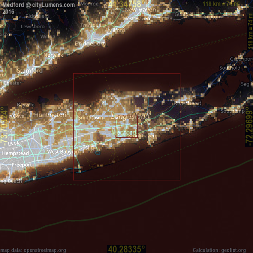
Analysis of Medford night lights 2016
Square area 10x10 km:
 11.56%
90-99
17.01%80-89
14.97%70-79
17.86%60-69
26.7%50-59
10.03%40-49
1.87%30-39
0%20-29
0%10-19
0%0-9
0%Square area 50x50 km:
4.07%90-99
5.41%80-89
4.55%70-79
6.51%60-69
6.27%50-59
5.59%40-49
4.27%30-39
3.16%20-29
5.58%10-19
11.5%0-9
43.09%Clear (daylight) street map image can be seen on geolist.org.
Map coordinates:
41° 20' 51.3" North, 73° 42' 11.7" West
40° 49' 3.4" North, 73° 0' 0.4" West
40° 17' 0.1" North, 72° 17' 49.2" West
Some cities around Medford sort by population:
• Coram
5.7 km =3.5 mi,  358°
358°
• Holbrook
6.6 km =4.1 mi,  264°
264°
• East Patchogue
5.6 km =3.5 mi,  176°
176°
• Selden
6.2 km =3.9 mi,  331°
331°
• Holtsville
3.8 km =2.4 mi,  266°
266°
• Farmingville
2.9 km =1.8 mi,  301°
301°
• Patchogue
5.9 km =3.7 mi,  192°
192°
• North Patchogue
3.5 km =2.2 mi, 192°
5126518 (p: 24,142)
Sources (retrieved 2019-11-25):
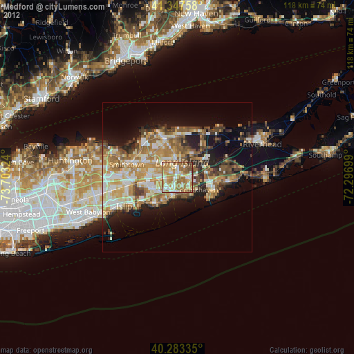
» Earth at Night: Flat Maps 2012, 2016