North Andover night lights from space
Night Light of North Andover (Massachusetts) from space (United States) Src. Average luminocity for 10x10km area is 66.9758% and for 50x50km: 42.506%.
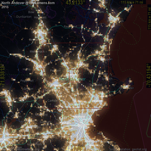
Analysis of North Andover night lights 2016
Square area 10x10 km:
 13.18%
90-99
17.27%80-89
9.85%70-79
6.52%60-69
15.3%50-59
9.55%40-49
7.12%30-39
8.48%20-29
8.64%10-19
4.09%0-9
0%Square area 50x50 km:
5.26%90-99
6.82%80-89
5.01%70-79
6.07%60-69
8.5%50-59
9.18%40-49
6.8%30-39
6.56%20-29
10.8%10-19
18.89%0-9
16.09%Clear (daylight) street map image can be seen on geolist.org.
Map coordinates:
43° 12' 47.9" North, 71° 50' 17.5" West
42° 41' 55.3" North, 71° 8' 6.2" West
42° 10' 47.3" North, 70° 25' 55" West
Some cities around North Andover sort by population:
• Lawrence
2.5 km =1.6 mi,  292°
292°
• Haverhill
9.8 km =6.1 mi,  28°
28°
• Methuen
5.5 km =3.4 mi,  303°
303°
• Salem
11.3 km =7 mi,  331°
331°
• Tewksbury
12.7 km =7.9 mi,  219°
219°
• Dracut
14 km =8.7 mi,  257°
257°
• Andover
4.5 km =2.8 mi,  182°
182°
• Groveland
10.9 km =6.8 mi,  50°
50°
4832272 (p: 28,222)
Sources (retrieved 2019-11-25):
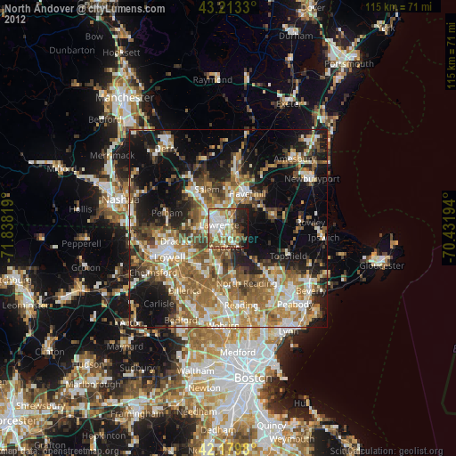
» Earth at Night: Flat Maps 2012, 2016