Haverhill night lights from space
Night Light of Haverhill (Massachusetts) from space (United States) Src. Average luminocity for 10x10km area is 56.05% and for 50x50km: 31.7835%.
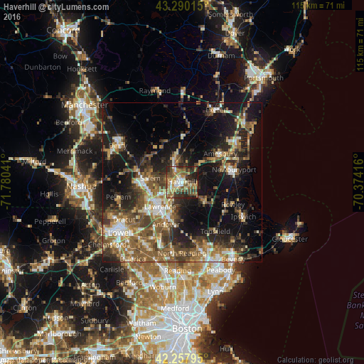

Analysis of Haverhill night lights 2016
Square area 10x10 km:
 5.76%
5.76%90-99
8.48%80-89
7.88%70-79
8.64%60-69
12.73%50-59
15.15%40-49
10%30-39
8.94%20-29
17.58%10-19
4.85%0-9
0%Square area 50x50 km:
3.34%90-99
4.57%80-89
3.55%70-79
3.79%60-69
5.49%50-59
7.45%40-49
6.02%30-39
5.66%20-29
9.38%10-19
18%0-9
32.75%Clear (daylight) street map image can be seen on geolist.org.
Map coordinates:
43° 17' 24.5" North, 71° 46' 49.5" West
42° 46' 34.3" North, 71° 4' 38.2" West
42° 15' 28.6" North, 70° 22' 27" West
Some cities around Haverhill sort by population:
• Lawrence
10.4 km =6.5 mi,  222°
222°
• Methuen
10.8 km =6.7 mi,  239°
239°
• Salem
10.2 km =6.3 mi,  277°
277°
• North Andover
9.8 km =6.1 mi,  208°
208°
• Plaistow
6.9 km =4.3 mi,  347°
347°
• Atkinson
9 km =5.6 mi,  320°
320°
• Merrimac
8.6 km =5.3 mi,  45°
45°
• Groveland
4.1 km =2.5 mi,  115°
115°
4939085 (p: 62,765)
Sources (retrieved 2019-11-25):
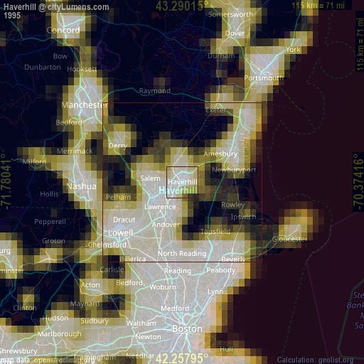
» NASA, Earths city lights 1995
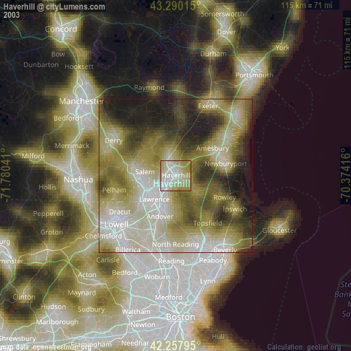
» NASA city lights 2003
» Earth at Night: Flat Maps 2012, 2016