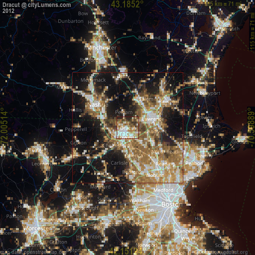
Dracut night lights from space
Night Light of Dracut (Massachusetts) from space (United States) Src. Average luminocity for 10x10km area is 65.9379% and for 50x50km: 41.4949%.
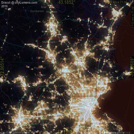
Analysis of Dracut night lights 2016
Square area 10x10 km:
 13.94%
90-99
14.7%80-89
7.58%70-79
9.7%60-69
8.48%50-59
12.88%40-49
14.09%30-39
7.58%20-29
10.61%10-19
0.45%0-9
0%Square area 50x50 km:
4.66%90-99
6.56%80-89
5.16%70-79
6.01%60-69
7.97%50-59
9.63%40-49
6.71%30-39
6.05%20-29
10.11%10-19
21.18%0-9
15.95%Clear (daylight) street map image can be seen on geolist.org.
Map coordinates:
43° 11' 6.7" North, 72° 0' 18.5" West
42° 40' 13.3" North, 71° 18' 7.2" West
42° 9' 4.5" North, 70° 35' 56" West
Some cities around Dracut sort by population:
• Lowell
4.3 km =2.7 mi,  195°
195°
• Lawrence
12.1 km =7.5 mi,  70°
70°
• Methuen
11 km =6.8 mi,  55°
55°
• Billerica
12.7 km =7.9 mi,  167°
167°
• Chelmsford
9.5 km =5.9 mi,  214°
214°
• Tewksbury
8.7 km =5.4 mi,  140°
140°
• Pelham
7.4 km =4.6 mi,  345°
345°
• Tyngsboro
10 km =6.2 mi,  274°
274°
4935038 (p: 28,831)
Sources (retrieved 2019-11-25):
» Earth at Night: Flat Maps 2012, 2016