Methuen night lights from space
Night Light of Methuen (Massachusetts) from space (United States) Src. Average luminocity for 10x10km area is 74.8924% and for 50x50km: 40.2055%.
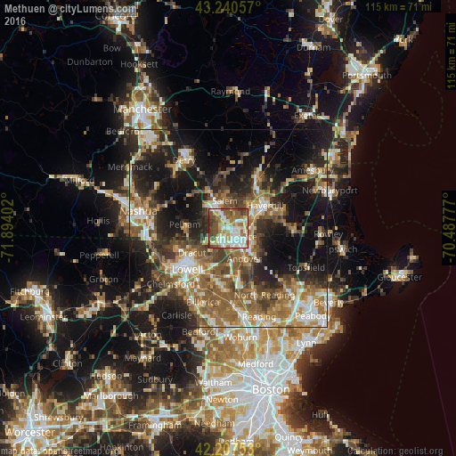
Analysis of Methuen night lights 2016
Square area 10x10 km:
 17.58%
90-99
20.76%80-89
10.61%70-79
6.67%60-69
12.12%50-59
16.67%40-49
9.39%30-39
5.45%20-29
0.76%10-19
0%0-9
0%Square area 50x50 km:
4.87%90-99
6.44%80-89
4.66%70-79
5.26%60-69
7.77%50-59
8.93%40-49
6.63%30-39
6.25%20-29
10.88%10-19
19.72%0-9
18.58%Clear (daylight) street map image can be seen on geolist.org.
Map coordinates:
43° 14' 26.1" North, 71° 53' 38.5" West
42° 43' 34.3" North, 71° 11' 27.2" West
42° 12' 27.1" North, 70° 29' 16" West
Some cities around Methuen sort by population:
• Lawrence
3.1 km =1.9 mi,  133°
133°
• Haverhill
10.8 km =6.7 mi,  59°
59°
• Salem
7 km =4.3 mi,  353°
353°
• Dracut
11 km =6.8 mi,  235°
235°
• North Andover
5.5 km =3.4 mi,  123°
123°
• Windham
12.4 km =7.7 mi,  311°
311°
• Pelham
11 km =6.8 mi,  274°
274°
• Andover
8.7 km =5.4 mi,  149°
149°
4943828 (p: 47,255)
Sources (retrieved 2019-11-25):
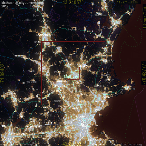
» Earth at Night: Flat Maps 2012, 2016