Norristown night lights from space
Night Light of Norristown (Pennsylvania) from space (United States) Src. Average luminocity for 10x10km area is 85.75% and for 50x50km: 67.4103%.
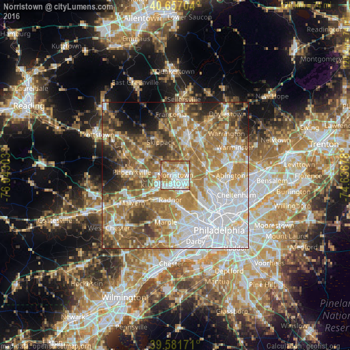
Analysis of Norristown night lights 2016
Square area 10x10 km:
 24.68%
90-99
26.3%80-89
13.8%70-79
16.72%60-69
12.99%50-59
5.19%40-49
0.32%30-39
0%20-29
0%10-19
0%0-9
0%Square area 50x50 km:
18.74%90-99
11.5%80-89
8.7%70-79
10.69%60-69
14.58%50-59
10.42%40-49
7.11%30-39
6.26%20-29
4.19%10-19
4.51%0-9
3.31%Clear (daylight) street map image can be seen on geolist.org.
Map coordinates:
40° 39' 25.3" North, 76° 2' 34.9" West
40° 7' 17.4" North, 75° 20' 23.6" West
39° 34' 54.2" North, 74° 38' 12.4" West
Some cities around Norristown sort by population:
• Radnor
8.5 km =5.3 mi,  191°
191°
• King of Prussia
6 km =3.7 mi,  233°
233°
• West Norriton
3.4 km =2.1 mi,  285°
285°
• Audubon
7.8 km =4.8 mi,  275°
275°
• Conshohocken
5.7 km =3.5 mi,  145°
145°
• Plymouth Meeting
6 km =3.7 mi,  110°
110°
• Blue Bell
7.1 km =4.4 mi,  61°
61°
• Trooper
6.1 km =3.8 mi,  300°
300°
5203506 (p: 34,412)
Sources (retrieved 2019-11-25):
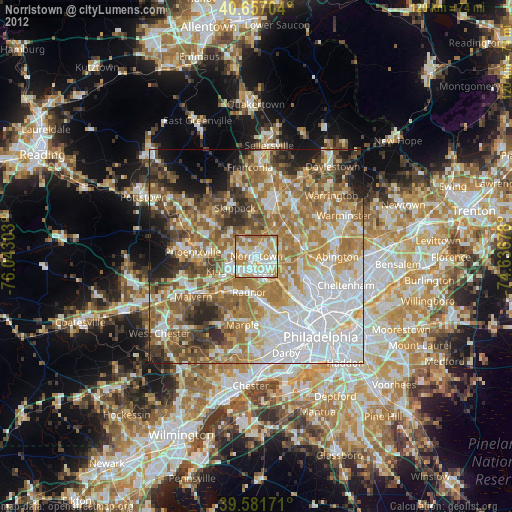
» Earth at Night: Flat Maps 2012, 2016