Radnor night lights from space
Night Light of Radnor (Pennsylvania) from space (United States) Src. Average luminocity for 10x10km area is 79.5682% and for 50x50km: 72.2465%.
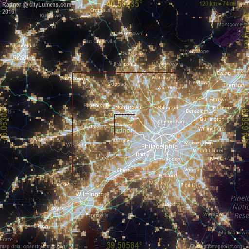
Analysis of Radnor night lights 2016
Square area 10x10 km:
 19.16%
90-99
16.72%80-89
6.01%70-79
21.92%60-69
30.03%50-59
6.01%40-49
0.16%30-39
0%20-29
0%10-19
0%0-9
0%Square area 50x50 km:
20.79%90-99
13.73%80-89
9.66%70-79
11.64%60-69
15.17%50-59
10.49%40-49
5.87%30-39
5.33%20-29
4%10-19
2.34%0-9
0.98%Clear (daylight) street map image can be seen on geolist.org.
Map coordinates:
40° 34' 56.5" North, 76° 3' 46.9" West
40° 2' 46.4" North, 75° 21' 35.7" West
39° 30' 21" North, 74° 39' 24.4" West
Some cities around Radnor sort by population:
• Norristown
8.5 km =5.3 mi,  11°
11°
• Wayne
2.4 km =1.5 mi,  264°
264°
• King of Prussia
5.7 km =3.5 mi,  327°
327°
• West Norriton
9.4 km =5.8 mi,  350°
350°
• Ardmore
7.7 km =4.8 mi,  124°
124°
• Broomall
7.2 km =4.5 mi,  177°
177°
• Conshohocken
6.2 km =3.9 mi,  53°
53°
• Plymouth Meeting
9.6 km =6 mi, 49°
5207490 (p: 30,878)
Sources (retrieved 2019-11-25):
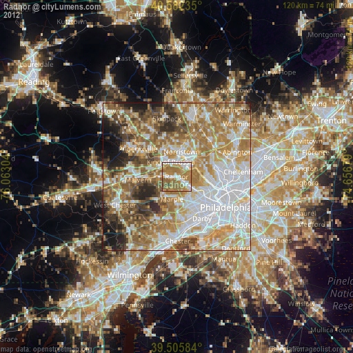
» Earth at Night: Flat Maps 2012, 2016