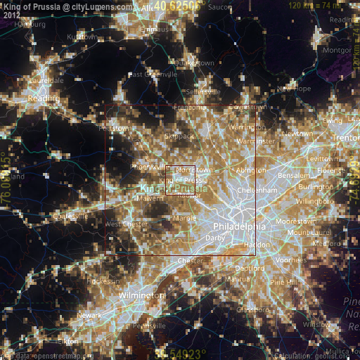
King of Prussia night lights from space
Night Light of King of Prussia (Pennsylvania) from space (United States) Src. Average luminocity for 10x10km area is 80.2597% and for 50x50km: 66.6855%.
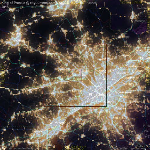
Analysis of King of Prussia night lights 2016
Square area 10x10 km:
 18.34%
90-99
19.16%80-89
11.53%70-79
19.48%60-69
22.56%50-59
6.82%40-49
1.95%30-39
0.16%20-29
0%10-19
0%0-9
0%Square area 50x50 km:
17.59%90-99
11.03%80-89
8.97%70-79
10.84%60-69
14.51%50-59
11.06%40-49
7.02%30-39
6.47%20-29
4.88%10-19
4.89%0-9
2.75%Clear (daylight) street map image can be seen on geolist.org.
Map coordinates:
40° 37' 30.2" North, 76° 5' 56.9" West
40° 5' 21.4" North, 75° 23' 45.7" West
39° 32' 57.2" North, 74° 41' 34.4" West
Some cities around King of Prussia sort by population:
• Norristown
6 km =3.7 mi,  53°
53°
• Wayne
5.1 km =3.2 mi,  171°
171°
• Radnor
5.7 km =3.5 mi,  147°
147°
• West Norriton
4.7 km =2.9 mi,  18°
18°
• Audubon
5.3 km =3.3 mi,  324°
324°
• Conshohocken
8.1 km =5 mi,  97°
97°
• Trooper
6.8 km =4.2 mi,  355°
355°
• Paoli
8.6 km =5.3 mi,  232°
232°
5196220 (p: 19,936)
Sources (retrieved 2019-11-25):
» Earth at Night: Flat Maps 2012, 2016