Newark night lights from space
Night Light of Newark (California) from space (United States) Src. Average luminocity for 10x10km area is 57.7662% and for 50x50km: 46.3039%.
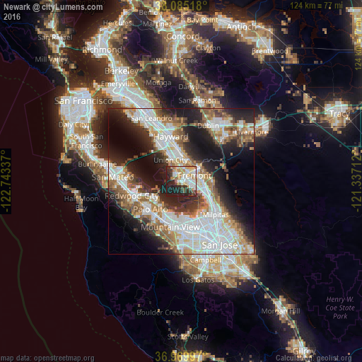
Analysis of Newark night lights 2016
Square area 10x10 km:
 13.64%
90-99
12.5%80-89
8.28%70-79
11.04%60-69
6.01%50-59
3.08%40-49
5.03%30-39
7.31%20-29
15.91%10-19
17.21%0-9
0%Square area 50x50 km:
12.7%90-99
11.28%80-89
2.91%70-79
5.41%60-69
5.97%50-59
6.32%40-49
4.7%30-39
4.63%20-29
10.36%10-19
14.54%0-9
21.17%Clear (daylight) street map image can be seen on geolist.org.
Map coordinates:
38° 5' 6.6" North, 122° 44' 36.1" West
37° 31' 46.8" North, 122° 2' 24.9" West
36° 58' 11.9" North, 121° 20' 13.6" West
Some cities around Newark sort by population:
• Fremont
5 km =3.1 mi,  65°
65°
• Hayward
15.9 km =9.9 mi,  346°
346°
• Union City
7.6 km =4.7 mi,  14°
14°
• Palo Alto
13.3 km =8.3 mi,  222°
222°
• Menlo Park
15.1 km =9.4 mi,  236°
236°
• East Palo Alto
11.2 km =7 mi,  232°
232°
• North Fair Oaks
15.1 km =9.4 mi,  245°
245°
• Atherton
15.8 km =9.8 mi, 241°
5376803 (p: 45,336)
Sources (retrieved 2019-11-25):
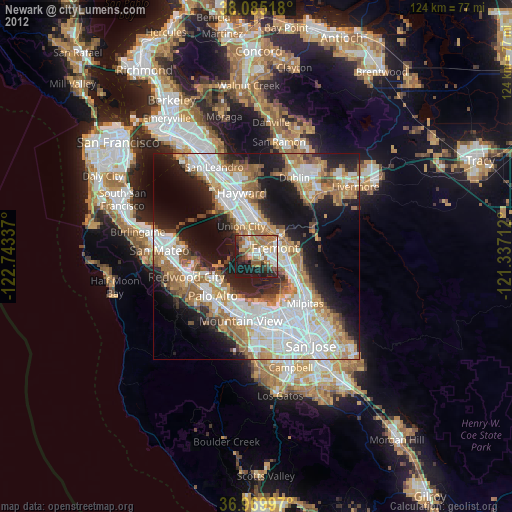
» Earth at Night: Flat Maps 2012, 2016