New Hope night lights from space
Night Light of New Hope (Minnesota) from space (United States) Src. Average luminocity for 10x10km area is 85.2682% and for 50x50km: 58.1129%.
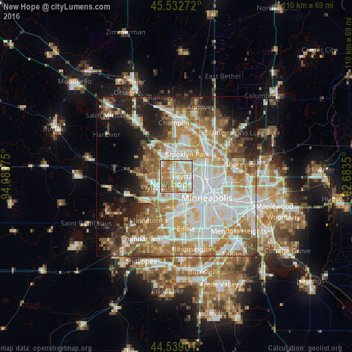
Analysis of New Hope night lights 2016
Square area 10x10 km:
 22.12%
90-99
24.24%80-89
22.12%70-79
10.45%60-69
17.12%50-59
3.18%40-49
0.76%30-39
0%20-29
0%10-19
0%0-9
0%Square area 50x50 km:
16.57%90-99
13.19%80-89
6.49%70-79
7.54%60-69
9.71%50-59
7.54%40-49
5.73%30-39
3.75%20-29
5.82%10-19
10.62%0-9
13.05%Clear (daylight) street map image can be seen on geolist.org.
Map coordinates:
45° 31' 57.8" North, 94° 5' 23.1" West
45° 2' 16.9" North, 93° 23' 11.8" West
44° 32' 20.4" North, 92° 41' 0.6" West
Some cities around New Hope sort by population:
• Brooklyn Park
6.7 km =4.2 mi,  20°
20°
• Plymouth
6.2 km =3.9 mi,  240°
240°
• Maple Grove
6.6 km =4.1 mi,  305°
305°
• Brooklyn Center
6 km =3.7 mi,  45°
45°
• Crystal
2.2 km =1.4 mi,  105°
105°
• Golden Valley
4.3 km =2.7 mi,  136°
136°
• Columbia Heights
9.7 km =6 mi,  88°
88°
• Robbinsdale
3.8 km =2.4 mi,  99°
99°
5039094 (p: 21,032)
Sources (retrieved 2019-11-25):
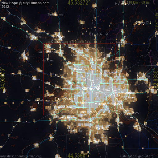
» Earth at Night: Flat Maps 2012, 2016