Plymouth night lights from space
Night Light of Plymouth (Minnesota) from space (United States) Src. Average luminocity for 10x10km area is 78.6365% and for 50x50km: 55.0473%.
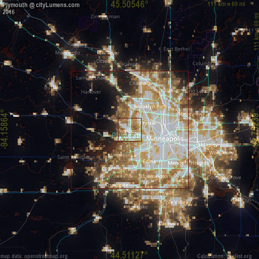

Analysis of Plymouth night lights 2016
Square area 10x10 km:
 19.05%
90-99
20.16%80-89
7.62%70-79
12.06%60-69
25.24%50-59
11.59%40-49
3.65%30-39
0.63%20-29
0%10-19
0%0-9
0%Square area 50x50 km:
15.21%90-99
12.86%80-89
6.73%70-79
7.27%60-69
9.6%50-59
6.98%40-49
5%30-39
3.2%20-29
4.38%10-19
8.28%0-9
20.47%Clear (daylight) street map image can be seen on geolist.org.
Map coordinates:
45° 30' 19.7" North, 94° 9' 31.1" West
45° 0' 37.9" North, 93° 27' 19.8" West
44° 30' 40.6" North, 92° 45' 8.6" West
Some cities around Plymouth sort by population:
• Maple Grove
6.9 km =4.3 mi,  359°
359°
• Minnetonka Mills
7.8 km =4.8 mi,  172°
172°
• Crystal
7.9 km =4.9 mi,  71°
71°
• Golden Valley
8.4 km =5.2 mi,  90°
90°
• New Hope
6.2 km =3.9 mi,  60°
60°
• Hopkins
9.5 km =5.9 mi,  183°
183°
• Robbinsdale
9.5 km =5.9 mi,  75°
75°
• Medina
10.3 km =6.4 mi,  285°
285°
5041926 (p: 75,907)
Sources (retrieved 2019-11-25):
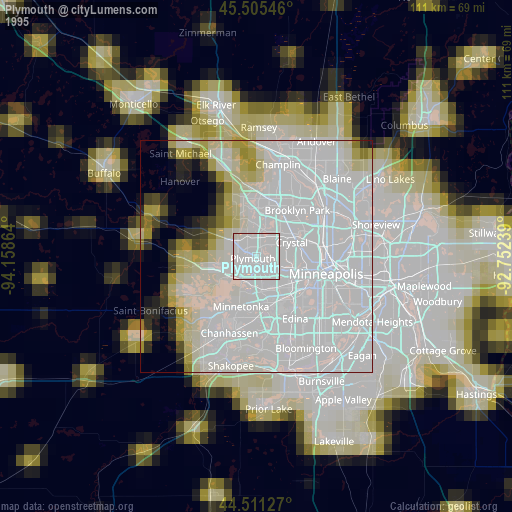
» NASA, Earths city lights 1995
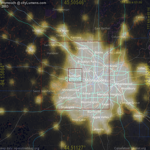
» NASA city lights 2003
» Earth at Night: Flat Maps 2012, 2016