Naples night lights from space
Night Light of Naples (Florida) from space (United States) Src. Average luminocity for 10x10km area is 62.0972% and for 50x50km: 22.9032%.
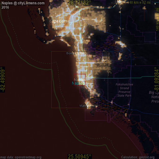
Analysis of Naples night lights 2016
Square area 10x10 km:
 15.67%
90-99
19.44%80-89
6.75%70-79
8.53%60-69
11.51%50-59
3.57%40-49
0.79%30-39
1.19%20-29
12.3%10-19
15.48%0-9
4.76%Square area 50x50 km:
2.87%90-99
3.92%80-89
2.52%70-79
4.18%60-69
6.53%50-59
3.15%40-49
3.04%30-39
2.71%20-29
4.38%10-19
8.89%0-9
57.8%Clear (daylight) street map image can be seen on geolist.org.
Map coordinates:
26° 46' 18.6" North, 82° 29' 56.7" West
26° 8' 32.4" North, 81° 47' 45.5" West
25° 30' 34" North, 81° 5' 34.2" West
Some cities around Naples sort by population:
• Bonita Springs
22 km =13.7 mi,  4°
4°
• Estero
32.9 km =20.4 mi,  358°
358°
• Golden Gate
11.3 km =7 mi,  63°
63°
• East Naples
3 km =1.9 mi,  98°
98°
• Marco Island
23.7 km =14.7 mi,  160°
160°
• San Carlos Park
36.1 km =22.4 mi, 359°
• Marco
20 km =12.4 mi, 160°
• Pelican Bay
9.9 km =6.2 mi,  354°
354°
4165565 (p: 21,512)
Sources (retrieved 2019-11-25):
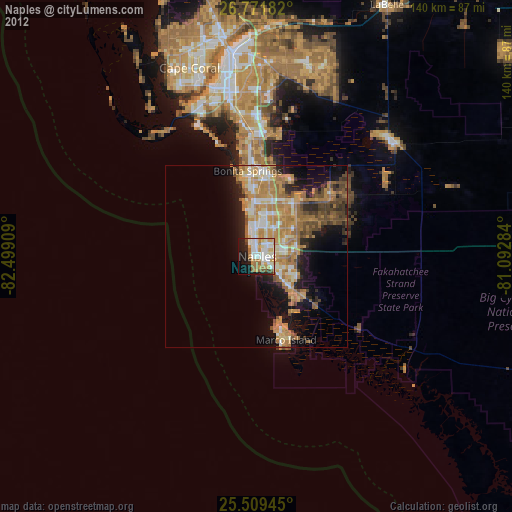
» Earth at Night: Flat Maps 2012, 2016