East Naples night lights from space
Night Light of East Naples (Florida) from space (United States) Src. Average luminocity for 10x10km area is 80.1429% and for 50x50km: 23.3904%.
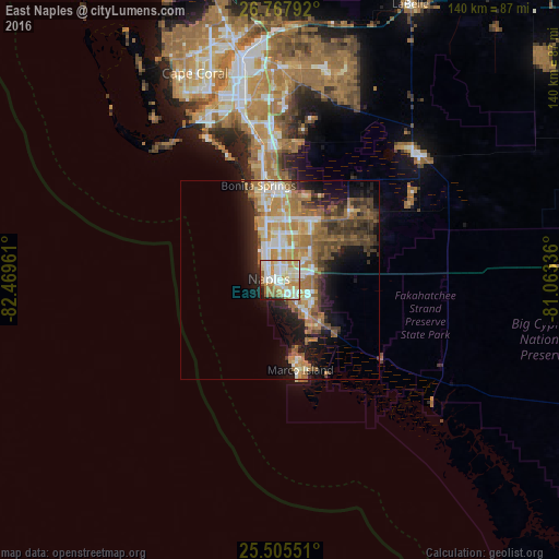
Analysis of East Naples night lights 2016
Square area 10x10 km:
 18.85%
90-99
26.79%80-89
13.69%70-79
16.47%60-69
12.1%50-59
3.17%40-49
0.79%30-39
1.19%20-29
4.17%10-19
2.78%0-9
0%Square area 50x50 km:
2.87%90-99
3.89%80-89
2.51%70-79
4.15%60-69
6.49%50-59
3.35%40-49
3.43%30-39
3.16%20-29
4.64%10-19
9.24%0-9
56.28%Clear (daylight) street map image can be seen on geolist.org.
Map coordinates:
26° 46' 4.5" North, 82° 28' 10.6" West
26° 8' 18.3" North, 81° 45' 59.3" West
25° 30' 19.8" North, 81° 3' 48.1" West
Some cities around East Naples sort by population:
• Bonita Springs
22.4 km =13.9 mi,  356°
356°
• Golden Gate
9 km =5.6 mi,  52°
52°
• Naples
3 km =1.9 mi,  278°
278°
• Marco Island
22.4 km =13.9 mi,  167°
167°
• Marco
18.8 km =11.7 mi, 168°
• Pelican Bay
11 km =6.8 mi,  339°
339°
• Naples Park
14.4 km =8.9 mi, 342°
• Naples Manor
6.8 km =4.2 mi,  143°
143°
4154031 (p: 22,951)
Sources (retrieved 2019-11-25):
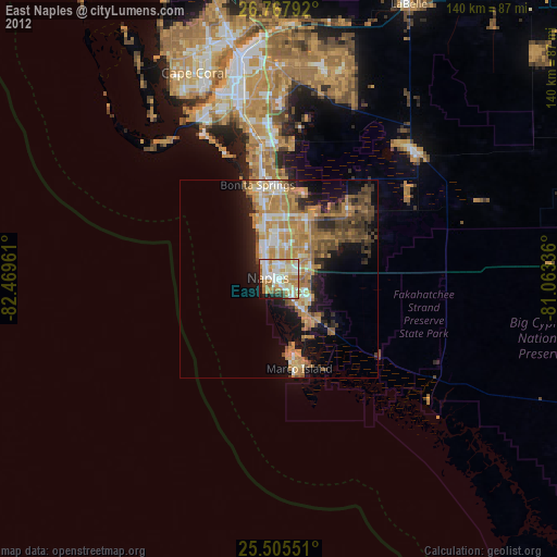
» Earth at Night: Flat Maps 2012, 2016