Nacogdoches night lights from space
Night Light of Nacogdoches (Texas) from space (United States) Src. Average luminocity for 10x10km area is 51.7125% and for 50x50km: 4.2999%.
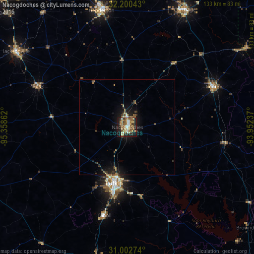
Analysis of Nacogdoches night lights 2016
Square area 10x10 km:
 5.68%
5.68%90-99
6.59%80-89
10.26%70-79
8.79%60-69
11.36%50-59
13.92%40-49
4.58%30-39
5.31%20-29
8.97%10-19
23.44%0-9
1.1%Square area 50x50 km:
0.27%90-99
0.34%80-89
0.6%70-79
0.56%60-69
0.76%50-59
0.95%40-49
0.55%30-39
0.74%20-29
1.1%10-19
4.07%0-9
90.06%Clear (daylight) street map image can be seen on geolist.org.
Map coordinates:
32° 12' 1.5" North, 95° 21' 31" West
31° 36' 12.6" North, 94° 39' 19.8" West
31° 0' 9.9" North, 93° 57' 8.5" West
Some cities around Nacogdoches sort by population:
• Lufkin
30.3 km =18.8 mi,  193°
193°
• Jacksonville
70.6 km =43.9 mi,  304°
304°
• Henderson
62.6 km =38.9 mi,  347°
347°
• Carthage
68.5 km =42.6 mi,  25°
25°
• Crockett
82.3 km =51.1 mi,  247°
247°
• Rusk
51.5 km =32 mi,  294°
294°
• Diboll
47.8 km =29.7 mi, 194°
• Center
49.9 km =31 mi,  64°
64°
4713735 (p: 33,894)
Sources (retrieved 2019-11-25):
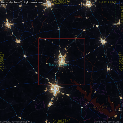
» Earth at Night: Flat Maps 2012, 2016