Jacksonville night lights from space
Night Light of Jacksonville (Texas) from space (United States) Src. Average luminocity for 10x10km area is 32.2692% and for 50x50km: 4.5001%.
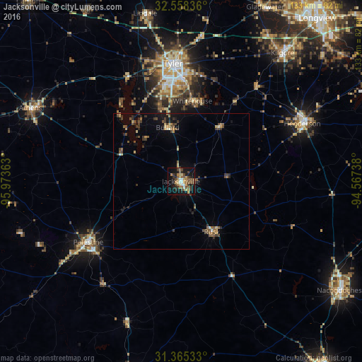
Analysis of Jacksonville night lights 2016
Square area 10x10 km:
 2.8%
2.8%90-99
2.1%80-89
3.85%70-79
5.42%60-69
6.47%50-59
7.34%40-49
6.47%30-39
7.17%20-29
5.59%10-19
30.42%0-9
22.38%Square area 50x50 km:
0.16%90-99
0.19%80-89
0.49%70-79
0.6%60-69
0.64%50-59
1%40-49
1.06%30-39
1.19%20-29
0.81%10-19
2.94%0-9
90.94%Clear (daylight) street map image can be seen on geolist.org.
Map coordinates:
32° 33' 30.1" North, 95° 58' 25.1" West
31° 57' 49.6" North, 95° 16' 13.8" West
31° 21' 55.2" North, 94° 34' 2.6" West
Some cities around Jacksonville sort by population:
• Tyler
43.2 km =26.8 mi,  356°
356°
• Palestine
40.7 km =25.3 mi,  236°
236°
• Kilgore
59.9 km =37.2 mi,  38°
38°
• Henderson
49.1 km =30.5 mi,  64°
64°
• Athens
61.3 km =38.1 mi,  295°
295°
• Whitehouse
29.6 km =18.4 mi,  8°
8°
• Lindale
62.7 km =39 mi,  347°
347°
• Rusk
21.8 km =13.5 mi,  148°
148°
4700550 (p: 14,884)
Sources (retrieved 2019-11-25):
» Earth at Night: Flat Maps 2012, 2016