Crockett night lights from space
Night Light of Crockett (Texas) from space (United States) Src. Average luminocity for 10x10km area is 19.0804% and for 50x50km: 1.3473%.
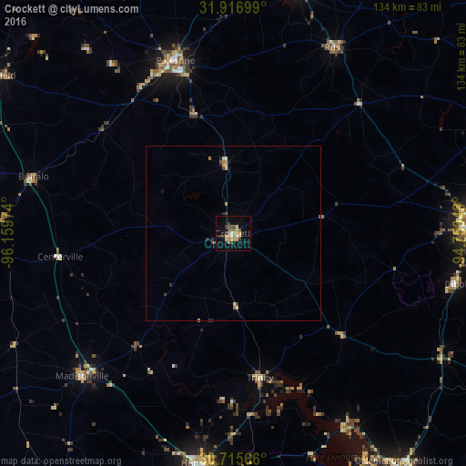
Analysis of Crockett night lights 2016
Square area 10x10 km:
 0.52%
0.52%90-99
1.05%80-89
3.67%70-79
5.07%60-69
2.62%50-59
2.45%40-49
2.97%30-39
4.37%20-29
0.7%10-19
8.04%0-9
68.53%Square area 50x50 km:
0.04%90-99
0.06%80-89
0.29%70-79
0.27%60-69
0.24%50-59
0.14%40-49
0.24%30-39
0.31%20-29
0.15%10-19
0.46%0-9
97.81%Clear (daylight) street map image can be seen on geolist.org.
Map coordinates:
31° 55' 1.2" North, 96° 9' 35.1" West
31° 19' 5.7" North, 95° 27' 23.8" West
30° 42' 56.4" North, 94° 45' 12.6" West
Some cities around Crockett sort by population:
• Huntsville
66.7 km =41.4 mi,  187°
187°
• Lufkin
69.1 km =42.9 mi,  88°
88°
• Nacogdoches
82.3 km =51.1 mi,  67°
67°
• Palestine
52 km =32.3 mi,  341°
341°
• Jacksonville
73.9 km =45.9 mi,  13°
13°
• West Livingston
81.4 km =50.6 mi,  147°
147°
• Rusk
60.5 km =37.6 mi,  28°
28°
• Diboll
65.8 km =40.9 mi,  102°
102°
4684218 (p: 6,554)
Sources (retrieved 2019-11-25):
» Earth at Night: Flat Maps 2012, 2016