Lufkin night lights from space
Night Light of Lufkin (Texas) from space (United States) Src. Average luminocity for 10x10km area is 68.1958% and for 50x50km: 6.1865%.
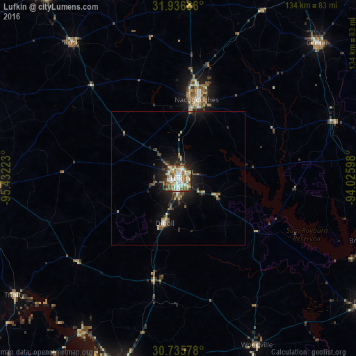
Analysis of Lufkin night lights 2016
Square area 10x10 km:
 12.76%
90-99
17.31%80-89
11.19%70-79
8.22%60-69
13.81%50-59
12.41%40-49
6.82%30-39
4.72%20-29
9.97%10-19
2.8%0-9
0%Square area 50x50 km:
0.64%90-99
0.89%80-89
0.76%70-79
0.59%60-69
0.96%50-59
1.12%40-49
0.83%30-39
0.91%20-29
1.71%10-19
4.64%0-9
86.95%Clear (daylight) street map image can be seen on geolist.org.
Map coordinates:
31° 56' 12.7" North, 95° 25' 56" West
31° 20' 17.7" North, 94° 43' 44.8" West
30° 44' 8.8" North, 94° 1' 33.5" West
Some cities around Lufkin sort by population:
• Nacogdoches
30.3 km =18.8 mi,  13°
13°
• West Livingston
75.8 km =47.1 mi,  200°
200°
• Jasper
83.8 km =52.1 mi,  123°
123°
• Crockett
69.1 km =42.9 mi,  268°
268°
• Rusk
64.7 km =40.2 mi,  321°
321°
• Diboll
17.5 km =10.9 mi, 196°
• Center
72.8 km =45.2 mi,  45°
45°
• Livingston
72.4 km =45 mi, 195°
4708308 (p: 36,333)
Sources (retrieved 2019-11-25):
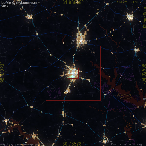
» Earth at Night: Flat Maps 2012, 2016