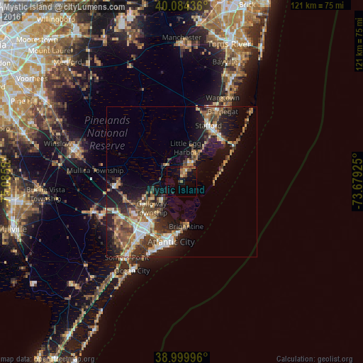
Mystic Island night lights from space
Night Light of Mystic Island (New Jersey) from space (United States) Src. Average luminocity for 10x10km area is 12.0276% and for 50x50km: 15.8734%.
Analysis of Mystic Island night lights 2016
Square area 10x10 km:
 0.32%
0.32%90-99
0.32%80-89
1.46%70-79
2.44%60-69
2.44%50-59
4.22%40-49
1.14%30-39
0%20-29
1.3%10-19
9.09%0-9
77.27%Square area 50x50 km:
1.88%90-99
2.06%80-89
2.05%70-79
2.02%60-69
2.39%50-59
2.99%40-49
2.94%30-39
3.15%20-29
4.25%10-19
9.58%0-9
66.69%Clear (daylight) street map image can be seen on geolist.org.
Map coordinates:
40° 5' 3.7" North, 75° 5' 7.8" West
39° 32' 39.4" North, 74° 22' 56.5" West
38° 59' 59.9" North, 73° 40' 45.3" West
Some cities around Mystic Island sort by population:
• Atlantic City
20.3 km =12.6 mi,  189°
189°
• Pleasantville
21 km =13 mi,  215°
215°
• Ocean Acres
23.8 km =14.8 mi,  21°
21°
• Ventnor City
24.1 km =15 mi,  199°
199°
• Brigantine
15 km =9.3 mi,  174°
174°
• Absecon
16.1 km =10 mi, 217°
• Smithville
8.5 km =5.3 mi,  228°
228°
• Pomona
18.1 km =11.2 mi,  246°
246°
4503204 (p: 8,493)
Sources (retrieved 2019-11-25):
» Earth at Night: Flat Maps 2012, 2016