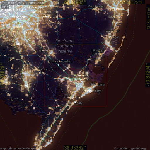
Pomona night lights from space
Night Light of Pomona (New Jersey) from space (United States) Src. Average luminocity for 10x10km area is 43.1327% and for 50x50km: 17.1186%.
Analysis of Pomona night lights 2016
Square area 10x10 km:
 4.08%
4.08%90-99
4.59%80-89
4.42%70-79
4.76%60-69
9.69%50-59
12.24%40-49
9.69%30-39
8.33%20-29
16.33%10-19
24.32%0-9
1.53%Square area 50x50 km:
1.93%90-99
2.08%80-89
2.09%70-79
2.25%60-69
2.41%50-59
2.91%40-49
3.13%30-39
3.55%20-29
4.99%10-19
12.23%0-9
62.44%Clear (daylight) street map image can be seen on geolist.org.
Map coordinates:
40° 1' 8.6" North, 75° 16' 41.8" West
39° 28' 42.4" North, 74° 34' 30.6" West
38° 56' 1" North, 73° 52' 19.3" West
Some cities around Pomona sort by population:
• Pleasantville
10.8 km =6.7 mi,  155°
155°
• Somers Point
18 km =11.2 mi,  185°
185°
• Ventnor City
17.5 km =10.9 mi,  151°
151°
• Northfield
12.2 km =7.6 mi,  169°
169°
• Absecon
8.8 km =5.5 mi,  129°
129°
• Smithville
10.3 km =6.4 mi,  80°
80°
• Linwood
15.4 km =9.6 mi,  180°
180°
• Margate City
17.8 km =11.1 mi, 159°
4503665 (p: 7,124)
Sources (retrieved 2019-11-25):
» Earth at Night: Flat Maps 2012, 2016