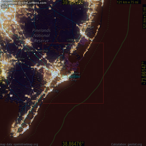
Brigantine night lights from space
Night Light of Brigantine (New Jersey) from space (United States) Src. Average luminocity for 10x10km area is 16.3776% and for 50x50km: 13.6619%.
Analysis of Brigantine night lights 2016
Square area 10x10 km:
 2.38%
2.38%90-99
1.19%80-89
2.21%70-79
2.04%60-69
3.23%50-59
1.19%40-49
2.89%30-39
3.23%20-29
2.72%10-19
15.82%0-9
63.1%Square area 50x50 km:
1.73%90-99
1.86%80-89
1.79%70-79
1.8%60-69
1.96%50-59
2.55%40-49
2.43%30-39
2.67%20-29
3.58%10-19
7.42%0-9
72.21%Clear (daylight) street map image can be seen on geolist.org.
Map coordinates:
39° 57' 4.5" North, 75° 4' 3.8" West
39° 24' 36.4" North, 74° 21' 52.5" West
38° 51' 53.1" North, 73° 39' 41.3" West
Some cities around Brigantine sort by population:
• Atlantic City
7.2 km =4.5 mi,  224°
224°
• Pleasantville
13.9 km =8.6 mi,  260°
260°
• Ventnor City
12.4 km =7.7 mi,  231°
231°
• Northfield
16.5 km =10.3 mi,  254°
254°
• Mystic Island
15 km =9.3 mi,  354°
354°
• Absecon
11.4 km =7.1 mi,  280°
280°
• Smithville
12.3 km =7.6 mi,  319°
319°
• Margate City
15 km =9.3 mi, 232°
4500920 (p: 9,204)
Sources (retrieved 2019-11-25):
» Earth at Night: Flat Maps 2012, 2016