Morrow night lights from space
Night Light of Morrow (Georgia) from space (United States) Src. Average luminocity for 10x10km area is 95.4322% and for 50x50km: 77.8822%.
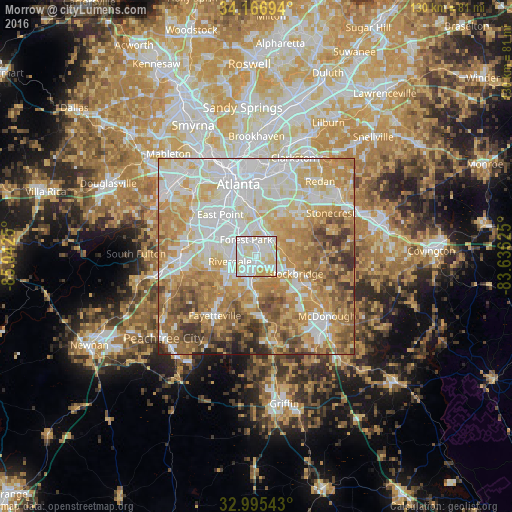
Analysis of Morrow night lights 2016
Square area 10x10 km:
 40.29%
90-99
39.01%80-89
17.77%70-79
2.93%60-69
0%50-59
0%40-49
0%30-39
0%20-29
0%10-19
0%0-9
0%Square area 50x50 km:
20.34%90-99
17.96%80-89
13.43%70-79
15.8%60-69
13.01%50-59
8.04%40-49
5.74%30-39
3.76%20-29
1.6%10-19
0.32%0-9
0%Clear (daylight) street map image can be seen on geolist.org.
Map coordinates:
34° 10' 1" North, 85° 2' 33" West
33° 34' 59.4" North, 84° 20' 21.7" West
32° 59' 43.5" North, 83° 38' 10.5" West
Some cities around Morrow sort by population:
• Stockbridge
10.7 km =6.6 mi,  113°
113°
• Forest Park
5.1 km =3.2 mi,  327°
327°
• Riverdale
6.9 km =4.3 mi,  260°
260°
• College Park
12.8 km =8 mi,  307°
307°
• Irondale
11.5 km =7.1 mi,  188°
188°
• Gresham Park
13.6 km =8.5 mi,  9°
9°
• Hapeville
10.8 km =6.7 mi,  322°
322°
• Conley
7 km =4.3 mi, 10°
4210254 (p: 7,338)
Sources (retrieved 2019-11-25):
» Earth at Night: Flat Maps 2012, 2016