Stockbridge night lights from space
Night Light of Stockbridge (Georgia) from space (United States) Src. Average luminocity for 10x10km area is 79.6813% and for 50x50km: 69.8382%.
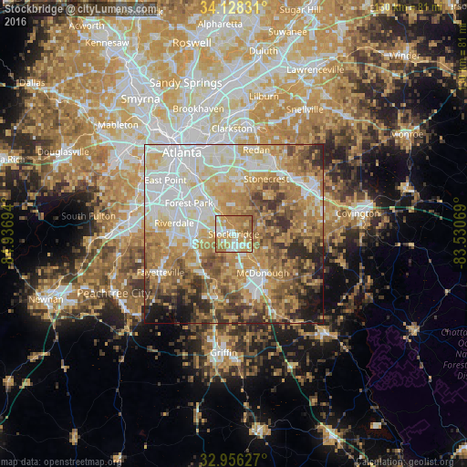
Analysis of Stockbridge night lights 2016
Square area 10x10 km:
 14.29%
90-99
15.93%80-89
13.55%70-79
26.56%60-69
25.46%50-59
4.21%40-49
0%30-39
0%20-29
0%10-19
0%0-9
0%Square area 50x50 km:
15.41%90-99
13.83%80-89
11.39%70-79
14.37%60-69
13.94%50-59
8.6%40-49
7.41%30-39
5.75%20-29
5.03%10-19
3.48%0-9
0.79%Clear (daylight) street map image can be seen on geolist.org.
Map coordinates:
34° 7' 41.9" North, 84° 56' 13" West
33° 32' 39.4" North, 84° 14' 1.7" West
32° 57' 22.6" North, 83° 31' 50.5" West
Some cities around Stockbridge sort by population:
• McDonough
13.5 km =8.4 mi,  143°
143°
• Forest Park
15.2 km =9.4 mi,  304°
304°
• Riverdale
16.9 km =10.5 mi,  280°
280°
• Irondale
13.6 km =8.5 mi,  238°
238°
• Hampton
18.1 km =11.2 mi,  194°
194°
• Morrow
10.7 km =6.6 mi,  293°
293°
• Lovejoy
14.1 km =8.8 mi,  211°
211°
• Conley
14.1 km =8.8 mi,  322°
322°
4224681 (p: 28,202)
Sources (retrieved 2019-11-25):
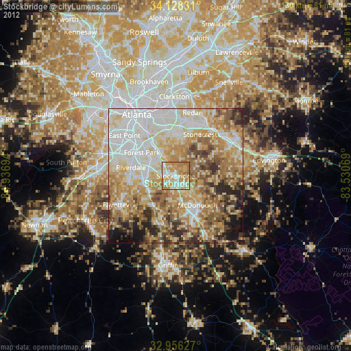
» Earth at Night: Flat Maps 2012, 2016