Moore night lights from space
Night Light of Moore (Oklahoma) from space (United States) Src. Average luminocity for 10x10km area is 84.9927% and for 50x50km: 53.0906%.
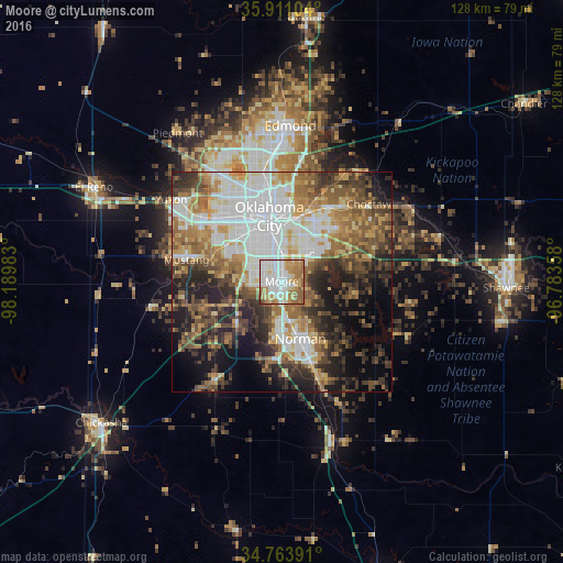
Analysis of Moore night lights 2016
Square area 10x10 km:
 25.27%
90-99
28.21%80-89
8.42%70-79
15.57%60-69
15.93%50-59
6.23%40-49
0%30-39
0.37%20-29
0%10-19
0%0-9
0%Square area 50x50 km:
12.6%90-99
10.05%80-89
6.23%70-79
6.48%60-69
8.75%50-59
8.21%40-49
7.8%30-39
7.67%20-29
9.61%10-19
10.59%0-9
12.01%Clear (daylight) street map image can be seen on geolist.org.
Map coordinates:
35° 54' 39.7" North, 98° 11' 23.4" West
35° 20' 22.2" North, 97° 29' 12.1" West
34° 45' 50.1" North, 96° 47' 0.9" West
Some cities around Moore sort by population:
• Oklahoma City
14.5 km =9 mi,  349°
349°
• Norman
13.7 km =8.5 mi,  161°
161°
• Midwest City
14.7 km =9.1 mi,  33°
33°
• Del City
12.1 km =7.5 mi,  20°
20°
• Mustang
22.1 km =13.7 mi,  282°
282°
• Warr Acres
23.6 km =14.7 mi,  329°
329°
• Newcastle
14.5 km =9 mi,  225°
225°
• Noble
23.8 km =14.8 mi, 159°
4542975 (p: 60,451)
Sources (retrieved 2019-11-25):
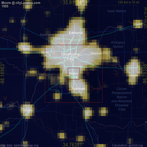
» NASA, Earths city lights 1995
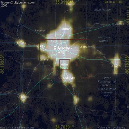
» NASA city lights 2003
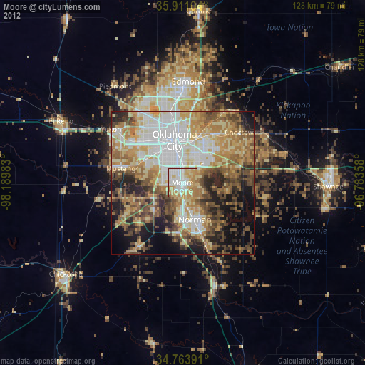
» Earth at Night: Flat Maps 2012, 2016